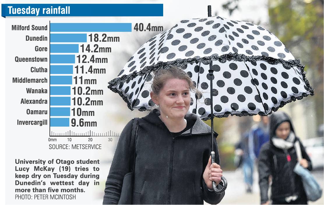
MetService meteorologist Angus Hines said 18.2mm fell in Dunedin on Tuesday, and between 9.6mm and 40.4mm fell in other parts of the southern region.
He said the last time significant amounts of rain fell was on January 1 and 2, when much of Otago and Southland received enough rain to cause flooding, property damage and road closures.
"So it’s been quite a while since the region has had significant rainfall."
Since then, rainfall had been minimal, causing Dunedin and the wider Otago region to go into drought conditions, and Mr Hines said the recent rain was nowhere near enough to break the dry spell.
"It’s welcome rain, but you’ll need a lot more to balance the ledger," he said.
Unfortunately for farmers, Niwa has predicted the next few months will be warmer and drier than average.
Federated Farmers Otago president and Lawrence farmer Mark Patterson said that a lot of Otago farmers were starting to struggle.
"Going into winter, crops aren’t looking too flash and there’s not a lot of pasture cover.
"That said, it’s been warm and if we get rain little and often like this, it’s the best we can hope for now."
He said management of winter feeds would be "tight" for farmers across the region, but they were getting much better at dealing with these drier conditions.
"These situations are becoming more prevalent. They’re being conservative."
He said many farmers were taking the bare minimum of stock through the winter to make sure they had enough feed to go around, and some were also buying in extra feed such as grains and sheep nuts.
Transpower has been issuing daily updates of its hydro lake levels recently and power storage levels for this time of year are the lowest in a decade.
A spokeswoman said lake levels were usually low at the end of summer but in recent weeks they had been low enough for generators to be concerned if more autumn rain did not arrive.
Among the lakes Transpower monitors, Lake Wakatipu was at 36% of its historical storage capacity, Lake Pukaki was at 39%, Wanaka 50%, Hawea 57%, Ohau and Manapouri 62%, and Te Anau 77%.
National storage increased 1.3% from 66.5% to 67.8% of average for the time of year.
Mr Hines said more wet weather was expected across the region this weekend, but nowhere near as much as that on Tuesday.
"It’s looking to be a different weather set-up. Rather than having a due south-to-north wind flow, which pushed the rain in like we had [on Tuesday], we’re getting a band of rain coming in from the west.
"That will dump out most of the rain on the western part of the country, which will see the rest get a smattering of showers, rather than persistent rainfall."


