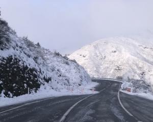
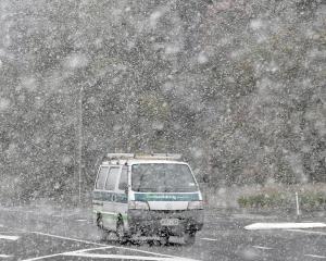
People are being urged to prepare for a major polar blast which could bring snow as far north as the Coromandel Peninsula from Sunday.
"This is not just a cold snap coming up. It's a major winter storm, with some places likely to have gale force winds, others to have snow to low levels, and a few places to have both," MetService weather ambassador Bob McDavitt said.
The cold snap was likely to last longer than the storm which brought snow to much of the country in the last weekend of July.
Anyone planning travel, working outdoors, or caring for livestock should check forecasts regularly, he said.
Canterbury Regional Civil Defence was warning people in the region to make preparations to avoid being caught out on Sunday or Monday.
"For this forecast, we have time to get prepared on Saturday in case we get snow towards the end of the weekend or early next week," Civil Defence manager Jon Mitchell said.
"Schools and businesses should have their plans in place today so people have a clear idea what will happen if snow again closes roads and keeps people at home on Monday," Mr Mitchell said.
People with prepaid electricity accounts were urged to top up their power managers after some were caught without power in last month's snow storm, he said.
Weatherwatch head weather analyst Philip Duncan said snow was predicted to low levels around Wellington and across Hutt Valley, and could fall to low levels in Hawke's Bay, Wairarapa, Manawatu and Taranaki.
Snow was also expected on the Coromandel Peninsula and Kaimai Ranges, in the Bay of Plenty.
"Canterbury to Marlborough will have blizzard potential," Mr Duncan said.
Snow could cause travel issues for motorists from Southland to Otago, Canterbury to Marlborough, Wellington to Wairarapa and Hawke's Bay to Central Plateau.
It may even be an issue on highways as far north as the Gisborne region, Mr Duncan said.
Snow on the North Island ranges was predicted to be especially heavy, with snow showers for the Desert Road on the central plateau from Sunday night until Wednesday.
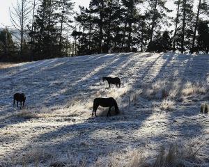
Farmers in the middle of lambing season were being urged to move livestock with the heaviest snow predicted in southern and eastern regions of both islands, from Southland to East Cape.
Severe southerly gales will add to the misery, with wind chills well below zero predicted.
MetService said the coldest day of the front was likely to be Monday, with conditions expected to ease on Tuesday or Wednesday. Severe frosts and icy roads were likely to persist later in the week.


