
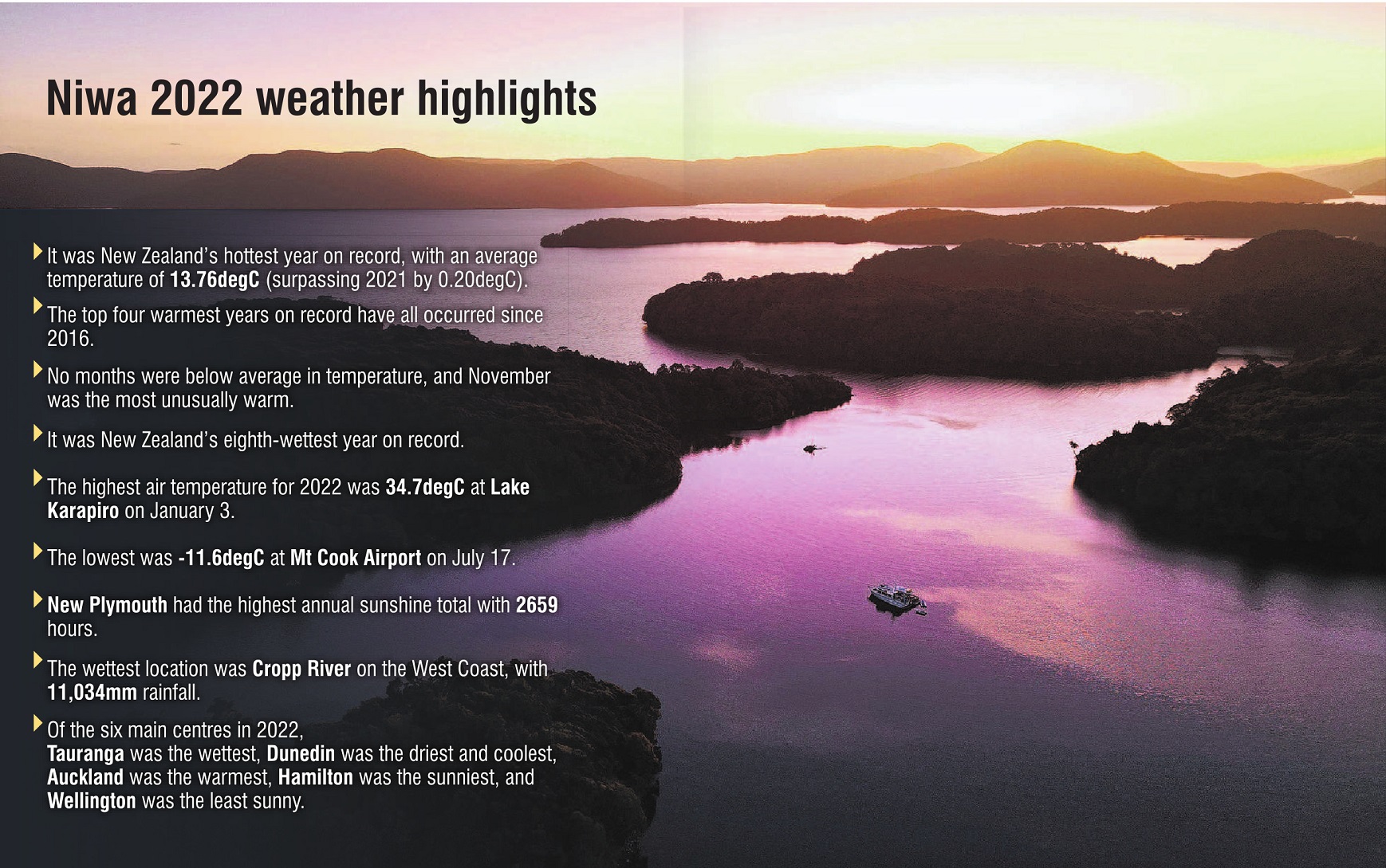
National Institute of Water and Atmospheric Research(Niwa) analytical meteorologist Tristan Meyers said the nationwide average temperature for 2022 was 13.76degC, surpassing the previous record set in 2021 by 0.2degC.
It meant the top-four warmest years on record had now all happened since 2016 - a trend that was consistent with climate change, he said.
Data from Niwa’s seven-station series also showed no months in 2022 were below average temperature, and 10 out of 12 months were above average.
The most unusually warm month was November which was 1.6degC above average, and the most unusually cool month was October which, despite featuring a significant cold spell with near sea-level snow at the beginning of the month, was still 0.2degC above the long-term October average.
By the end of 2022, new mean air temperature records were set in Franz Josef (12.8degC), Greymouth Airport (14.0degC), Hokitika Airport (13.3degC), Milford Sound (11.8degC), Wanaka Airport (11.7degC), Te Anau (10.7degC) and Middlemarch (10.8degC).
Mt Cook Village (9.9degC) recorded its second-highest mean air temperature, while Queenstown (11.7degC), Manapouri (West Arm Jetty) (10.2degC), Roxburgh (11.9degC), Lauder (10.7degC), Ranfurly (10.0degC), Dunedin (Musselburgh) (12.1degC), Five Rivers (10.4degC) and Nugget Point (10.9degC) recorded their third-highest.
The highest air temperature of the year was 34.7degC, recorded at Lake Karapiro on January 3, followed by 34.2degC at Alexandra and 34.0degC at Clyde, also on January 3.
The lowest air temperature of the year was -11.6degC recorded at Mt Cook Airport on July 17. This was followed by -11.2degC at Middlemarch on June 23, and -11.0degC at Tara Hills (near Omarama) on June 22.
2022 was also New Zealand’s 8th wettest year on record, Mr Meyers said.
An analysis of Niwa’s Virtual Climate Station Network which goes back to 1960, showed the nationwide area-averaged rainfall anomaly during 2022 was 110%.
The lowest rainfall recording locations for 2022 were Roxburgh and Middlemarch with 368mm, followed by Alexandra with 377mm.
Of New Zealand’s six main centres in 2022, Dunedin was the driest and coolest.
Mr Meyers said there were a myriad of climate drivers that contributed to the unusual warmth and wetness during 2022.
The primary driver was La Nina, which caused more sub-tropical northeasterly winds than normal, driving up air and sea temperatures.
"Since New Zealand is an island nation, coastal sea surface temperatures (SSTs) have an important influence on weather conditions.
"During 2022, coastal SSTs were above or well above average every month, with December, November, and January ranking as the top three most unusually warm months.
"This culminated in a marine heatwave (MHW) event, or unusually warm ocean temperatures over thousands of kilometres, that lasted much of the year."
Northland, Auckland, Waikato, Bay of Plenty, Taranaki, Tasman, West Coast, and Southland had the most persistent MHW conditions, he said.
"The presence of warmer-than-average regional SSTs, along with La Nina conditions and the negative IOD, were the primary natural reasons why New Zealand experienced warm and wet conditions through much of the year."


