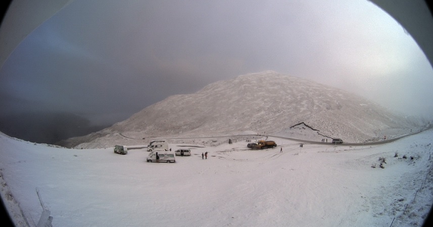
Snow was forecast to fall to around 600m in Fiordland, Southland and Otago overnight and is expected to fall to between 200m and 300m later in the week.
Dunedin’s hill suburbs may also see a coating as snow is forecast to fall to 200m in the city on Wednesday.
The Queenstown Lakes District Council advises that snow is falling on the Crown Range this morning and says chains must be carried.
MetService meteorologist April Clark said a southwesterly change this afternoon was likely to bring rain and snow to Otago and Southland.
The heaviest and lowest snowfalls would arrive on Wednesday, she said.
"Really, Wednesday is the day the snow is likely to fall to its lowest but there is a bit of uncertainty there but there is a chance."
Snow had closed one road by yesterday evening and the alpine passes were also expected to get a dusting overnight.
The Milford Road (State Highway 94 Te Anau to Milford Sound) was closed overnight but reopened this morning. However, some delays or short closures maybe required during the day to get on top of snow clearing.
As snow was expected to keep falling, the NZ Transport Agency warned motorists to expect delays on the highway today.
Snow and sleet flurries were also expected on the Lindis Pass (SH8), Arthurs Pass (SH73), and Lewis Pass (SH7).
Parts of Central Otago were buffeted by high winds over the weekend, closing some roads.
Cemetery Rd in Naseby and Mount Buster Rd (the section between Dansey’s Pass Rd and Little Kyeburn Rd) were closed after strong winds felled trees on Saturday.
Coronet Peak skifield was forced to delay its opening on Saturday morning and heavy rain caused slips near Queenstown.
In Dunedin, strong winds led to some flights being cancelled on Saturday morning.


