The shallow groundwater screening tool aids councils, engineers and rural communities by offering an initial indication of vulnerable zones where rising water tables may threaten infrastructure and land use.
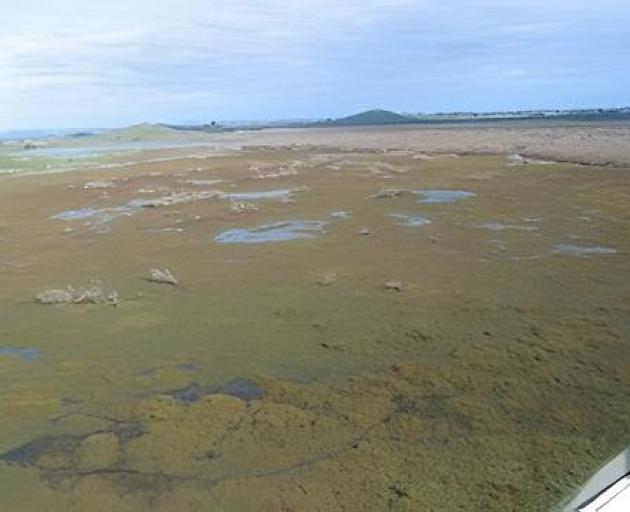
Groundwater flooding occurs when the water table nears the surface because of sea-level rise and sustained heavy rain.
Niwa coasts and estuaries chief scientist Dr Scott Stephens said increased flooding would be a "real driver of change" in many areas.
"Rising groundwater will destabilise roads and damage buildings.
"It could make farming uneconomic.
"Stormwater pipes will be persistently full."
Councils and decision-makers needed an accurate picture of current shallow groundwater levels to prepare for future risks as sea levels continued to rise.
Water resource consultancy Komanawa Solutions developed the tool by combining 2.4million real-life groundwater depth readings with machine learning techniques to fill in the gaps between measurement sites.
Founder Zeb Etheridge said the shallow water table was the part of the groundwater system that was most affected by sea-level rise.
The tool was designed so the certainty of detecting risky groundwater levels could be dialled up or down, as could the depth of groundwater that was of interest.
"Local authorities are likely to undertake more detailed assessments of the areas that are shown to be potentially exposed before making any significant decisions."
Understanding how wrong the model could be and in what ways it was wrong was a key part of this work, Mr Etheridge said.
A false positive predicting shallow groundwater when it was deep, or a false negative predicting deep groundwater when it was shallow, had very different consequences.
"This model allows decision-makers to adjust the model based on how important it is to avoid false negatives or false positives for their specific needs."
The tool was best used for screening and more detailed investigation, such as digging a bore, should be undertaken for confirmation, he said.
Shallow groundwater also had beneficial aspects.
"Shallow groundwater supports wetland habitats and helps keep pastures growing during dry spells by drawing moisture up from the water table through the soil.
The publicly available tool at niwa.co.nz/shallow-groundwater-tool can be used for a modest charge that will be reinvested in related science.