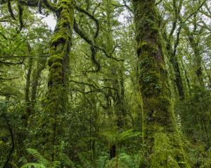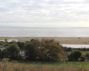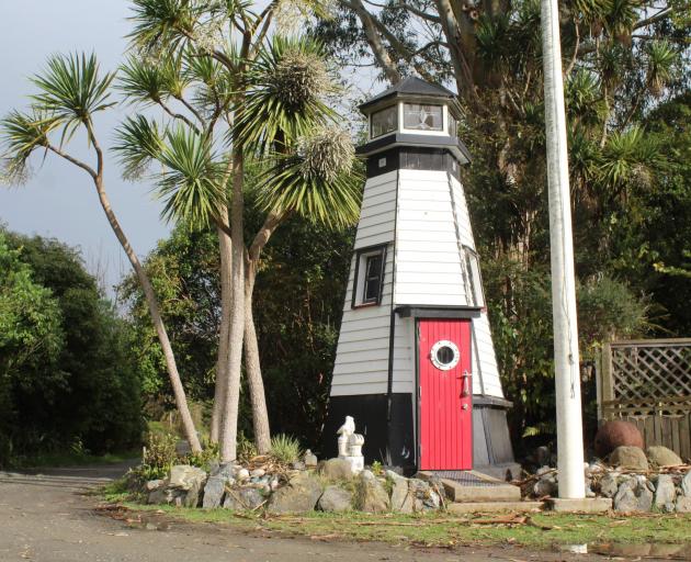
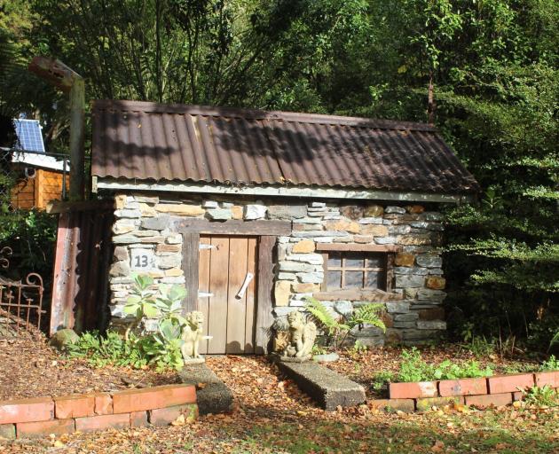
Since about 1950, cribs have been established at Coopers Creek - a remote part of Sandy Point Domain, 15km from the city.
The cribs have been deemed “non-conforming” ever since the area was designated as a domain in 1992, but have been allowed to stay under an annual licence agreement.
Invercargill City Council currently has 17 licences issued for owners, some of whom recently proposed the land be made freehold.
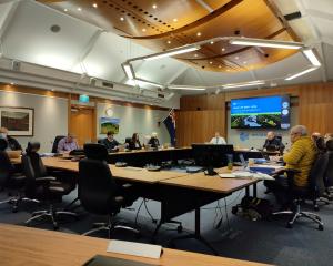
This week, councillors debated a range of options for the village in hopes it could resolve the long-standing debacle of houses occupying reserve land.
It was ultimately resolved to gauge resident support for a 35-year long-term licence option including a fixed end date, meaning people would need to vacate the land upon expiration.
If there was no clear direction from that engagement, the council would opt for the staff’s recommended option of an independent tenure determination process, which would take at least 18 months.
That option was more expensive and involved the establishment of a hearings panel to consider the issue before making a recommendation to council.
Council group manager community spaces and places Rex Capil began proceedings, saying a lot of history had been created by decisions that had been made, and those that hadn’t been.
“This is an emotive matter. It has history, it is complex - and for a lot of people it is personal,” he said.
Mana whenua representative Evelyn Cook spoke strongly in favour of an independent process, saying resource management had changed significantly since 1950.
Cook said there were burials in the extended area, and the council was operating on insufficient information and poor process.
“What we don’t seem to be doing is looking at what the environmental impact of these places are compared to what was envisioned at the time.
“I think that the time has come that we do it once and we do it right.”
Fellow representative Pani Cooke also said the area was significant for mana whenua, and freehold was not an option.
The area should be treated like Māori land where a lease was paid, she said, with an agreement that worked for everyone.
Deputy Mayor Tom Campbell was hesitant to support the staff recommendation of an independent process because of the cost, while councillor Ian Pottinger said it was the best option because council didn’t have the skills to make a decision that wasn’t based on emotion.
Councillor Allan Arnold took a different approach, saying the residents should be given their preferred option because “they live there, we don’t”.
An excerpt from the Sandy Point Domain Reserve Management Plan 2013 said there was an aim to phase out residents and weekend cribs located in the domain.
Council’s parks and recreation team would now engage with affected crib owners over a three month period, supported by the deputy mayor.
Māori kaiaka (villages) existed in the area now known as Sandy Point Domain when European whalers and traders settled in the Coopers Creek area, the council report said.
The creek got its name from a cooper named Owen McShane who settled there in 1836, making whale oil barrels and cabbage tree rum.
LDR is local body journalism co-funded by RNZ and NZ On Air