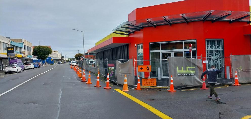
A project to improve Greymouth's flood protection to a one in 150-year flood event begins this week after four years of planning.
Local leaders suggest it will help boost confidence in the West Coast's largest town by enhancing the existing flood protection scheme, built in 1989-90 following two 100-year floods in 1988.
The latest project, over five stages, will widen and raise by up to a metre the existing flood protection banks encircling the town.
The Grey River and the local Sawyers Creek have flooded the town many times in the past 150 years, and it is also vulnerable to coastal inundation.
Greymouth Mayor Tania Gibson said the planned protection improvements will improve the town's outlook although Greymouth has the solid base of the existing 34-year-old protection banks.
"We're really lucky we got our (existing) floodwalls in back in the day because they would have cost a lot more now … they have proved their worth over time."

At the same time new coastal hazard modelling due for Greymouth, which was to account for the planned new protection, should remove some doubt for redevelopment plans, Mrs Gibson said.
"It's definitely going to build confidence."
This includes council planning a multimillion-dollar library development in the low-lying CBD.
Other new development has also started including the anchor Pounamu Pathway centre development at the CBD entrance and a new retail development by the Mawhera Incorporation in Mackay St.

This renewed CBD confidence is a tentative reset of a 30-year trend of businesses moving south to higher ground.
West Coast Regional Council chair Peter Haddock, who was hands-on as a contractor for the existing floodwall network build 34 years ago, said it was a game-changer at the time but improvements were now necessary, given future climate predictions.
"I fully support the ongoing improvement to the Greymouth flood scheme, given the predicted climatic change and the likes. It's essential that council through the ratepayers continue to improve that wall."
As it was, there was little real option to move the town elsewhere, Cr Haddock said.
"I'm not sure what Greymouth would look like without that wall being there - it would be quite a different place.

"It was either completely move the town to higher ground or hold the line. I believe our community representatives at the time made the right decision."
It made sense now to build upon the existing network to give at least 70 years of security with additional protection for the likes of the 2017-built regional hospital Te Nikau bordering Waterwalk Rd, Cr Haddock said.
Mrs Gibson said the anticipated coastal hazard modelling in conjunction with the protection improvement would hopefully allow the town "to have peace of mind".
"I have heard there is quite a few developments planned along with our own People do have confidence now the town is renewing and buildings are coming down, which is promoting opportunities."

Council garnered just over $6 million of government funding via the Ministry of Business, Innovation and Employment (MBIE) in 2020 for flood protection including the co-funded project at Greymouth, aided by post-Covid funding as well.
The new work will include the removal of vegetation and topsoil, and the construction of stop banks and timber retaining walls.
The upgrade includes providing an additional 600mm of freeboard on the existing stopbanks from Richmond Quay to Anzac Park to align with previously raised sections along Mawhera Quay and Short St, undertaken in 2019-20.
- By Brendon McMahon
Local democracy reporter
LDR is local body journalism co-funded by RNZ and NZ On Air


