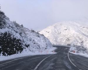
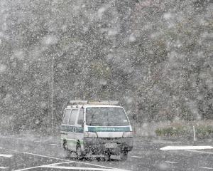
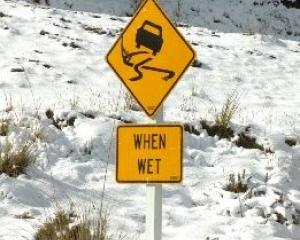
Blizzard weather conditions were expected to continue across Otago's heartland overnight, with up to 20cm more snow forecast to be followed by a series of severe frosts in the next few days.
Much of the province was yesterday brought to a standstill by a blanket of snow ranging from 3cm at the coast to up to 30cm inland, but emergency service officials and weather forecasters warned the worst was not over, with more blizzard conditions followed by frosts on the way.
Extreme care is called for on Wakatipu roads this morning, with chains to be fitted on the Crown Range Rd, Fernhill, Coronet Peak and outlying roads in the basin, according to the Queenstown Lakes District Council. Ice was likely to be an issue overnight throughout the entire Lakes district.
Council chief executive Debra Lawson asked residents to consider the welfare of their neighbours, especially seniors, by checking they were warm and had food. Queenstown Airport's runway will be reassessed today at 7am, after it was closed yesterday.
The ordinary full meeting of the QLDC, scheduled for today, will now take place on August 23.
The meeting of the Wanaka Community Board meeting scheduled to take place on August 23 will also be rescheduled.
• In Wanaka, icy road conditions kept school buses off roads and forced all schools and early childhood centres to close yesterday morning, but by noon the snow had stopped and by mid-afternoon, much of the ice had thawed.
People were advised not to go out in vehicles if they could avoid travelling and motorists were told to pack vehicle chains as well as extra clothes and food in case of travel delays.
The temperature by 2.30pm was 2degC, but a biting southeasterly wind made it feel like -2degC.
Wanaka has had thicker blankets of snow before, but what made this snowfall different was the early morning freeze, making driving conditions treacherous.
The Lindis Pass and Crown Range Rd were impassible in the morning, but had reopened to traffic by noon, although chains were essential and they remained closed to towing vehicles.
Two of Wanaka's four skifields opened - Treble Cone and the Snow Park - but the Snow Farm and Cardrona Alpine Resort were closed.
It was bitterly cold on the mountains, with staff working in very windy conditions and temperatures between -10degC and -14degC.
• Widespread snow across the Clutha district left at least 7cm lying in most areas, and more than 30cm on the hills in the Waitahuna-Mitchell's Flat, Mahinerangi and Waipori areas.
Some cars slid off State Highway 8 between Milton and Lawrence.
Large snowdrifts formed around Heriot and Tapanui, and snow was 15cm deep in parts of West Otago. John Herbert, of Heriot, said the snow was much worse than July's wintry blast, but farmers were well-prepared.
Senior Constable Blair Corlet, of Clinton, said the snow was "definitely heavier than last time" and roads were icy.
• Waitaki emergency services manager Chris Raine warned yesterday the worst of the storm was not over, with snow forecast through until this morning.
Snow blanketed the province, with 3cm lying in Oamaru. The worst hit area was inland around Corriedale where between 10cm and 20cm was lying.
Mr Raine said residents had heeded warnings to stock up on essential items, and supermarkets did a good trade on Saturday and Sunday morning.
While shops and supermarkets managed to open, there was little traffic on Oamaru streets as most people heeded warnings to stay at home.
• Snow drifts were up to a metre deep in the Maniototo, but most of the district had a coating of at least 6cm of snow in the morning, prompting Central Otago District Council roading manager Julie Muir to warn motorists to travel only if necessary.


