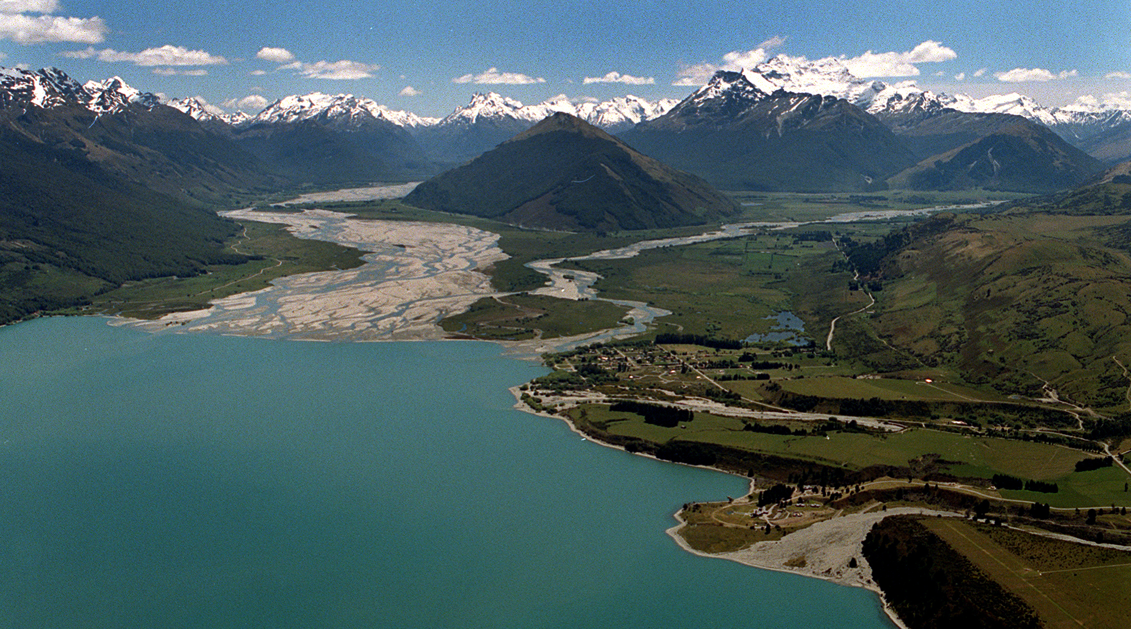
The Otago Regional Council is seeking tenders for a social impact assessment to support its natural hazards adaptation programme for the Head of Lake Wakatipu.
The project area includes Glenorchy, Kinloch and the surrounding rural areas of the Dart and Rees Valleys, Paradise, and Greenstone.

There were those who visited the area, those whose livelihoods depended on it and there was capacity for several hundred more dwellings up the valley as well, Mr Glover said.
The planned social impact assessment, used to back up decisions made for the area, ought to "capture that as a baseline", he said.
"It’s a social — and economic — impact assessment."
"We think it’s really important that that captures what’s here now.
"Apart from the people that live at the head of the lake, there’s a significant number of people that either come up here for recreation or hunting or other bits and pieces and there’s quite a lot of business that is done out of Glenorchy, or the Glenorchy area ...
It’s really important those sorts of things are counted."
The council is working with Queenstown Lakes District Council (QLDC), iwi, the Department of Conservation (Doc) and local communities to develop an adaptation strategy for the area, which faces a range of evolving natural hazard challenges.
Tender documents obtained by the Otago Daily Times said beyond collecting and analysing baseline data for the area, high-level work would be required to identify potential social and economic impacts faced by the community.
The assessment would also predict the significance, duration and extent of any impacts of the natural hazards identified, including repeated and frequent storms causing flooding; a major earthquake and a major storm scenario, involving significant floods.
In May, the council published a Tonkin + Taylor report that warned the most expensive option potentially on the table for the area involved ground improvement across the wider Glenorchy township that could cost the hundreds of millions of dollars and still not protect some parts of the town from severe liquefaction damage.
A report prepared by Damwatch Engineering into flood mitigation options for the Rees-Dart floodplain areas, made public last year, listed raising floor levels of existing buildings and retreat from highest-risk areas as potential options.
ORC operations manager Dr Gavin Palmer said last week the studies the council previously released showed everybody needed to take the concerns raised about natural hazards in the area seriously.
"This new [social impact] assessment we have commissioned is part of an ongoing response from ORC and reflects the need to continue to engage with the Glenorchy community and collaborate with QLDC and other stakeholders."
ORC natural hazards manager Dr Jean-Luc Payan said the proposed staged approach for the social impact assessment included a second assessment to understand the possible impacts of options to build resilience in the face of those threats, "once these are developed".
"The objective is to build a common set of values, objectives and principles that will be the heart of the adaptation strategy and allow success of the strategy to be measured against these common values."
The council’s safety and resilience committee would be updated on the project this week, he said.


