In July, Otago Regional Council chairwoman Gretchen Robertson wrote to Minister of Transport Simeon Brown requesting weather radar coverage in Central Otago and Queenstown-Lakes districts.
She was writing on behalf of the Otago civil defence and emergency management joint committee.
She said there were significant benefits to enhancing radar coverage in the Otago region.
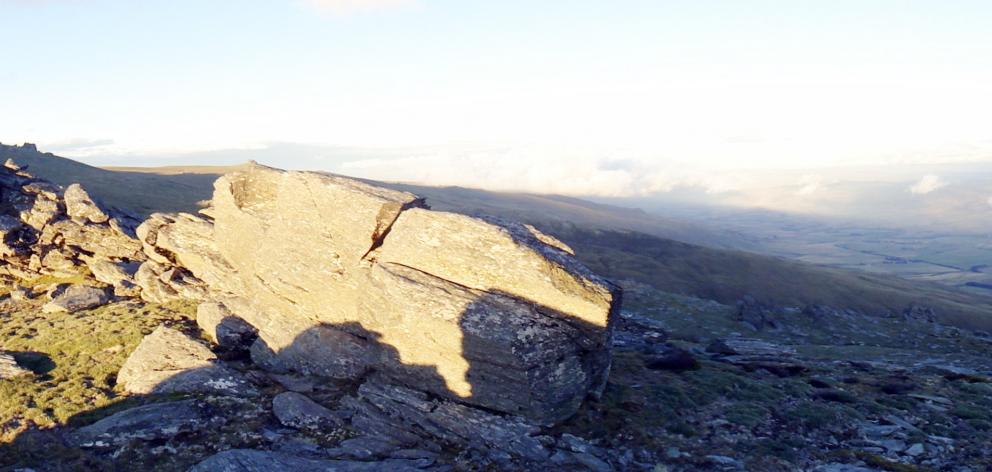
"The correlation between landscape features, such as the Rock and Pillar Range, and high rainfall distribution underscores the necessity for improved monitoring capabilities to support effective flood protection infrastructure managed by the Otago Regional Council [ORC]," she wrote to the minister.
Enhanced radar coverage would bolster Emergency Management Otago’s preparedness and response to weather-related events, aligning with responsibilities under the Resource Management Act, Soil Conservation and Rivers Control Act, and the Civil Defence Emergency Management Act, she said.
She said while qualitative radar data was accessible via the MetService website, the committee acknowledged the potential for future public access to real-time quantitative data and nowcast information.
The strategic enhancement would strengthen the committee's’s ability to safeguard communities and enhance resilience against weather-related risks.
Associate Minister of Transport Matt Doocey, who looks after the services of MetService, said in a letter to the council he acknowledged the concerns about the lack of weather radar in the area.
The Ministry of Transport administers a contract for weather forecasting with the MetService.
But until the middle of 2027, MetService is focusing on completing the radar programme in Wellington, Canterbury and Auckland.
"The MetService is aware of the lack of coverage in a number of areas across the country and has advised that it has started a market review of in-fill radar stations. These in-fill solutions will be suitable to augment the existing radar network."


