All weather-affected highways in Otago and Canterbury are open again after a wintry blast brought a raft of closures over the past two days.
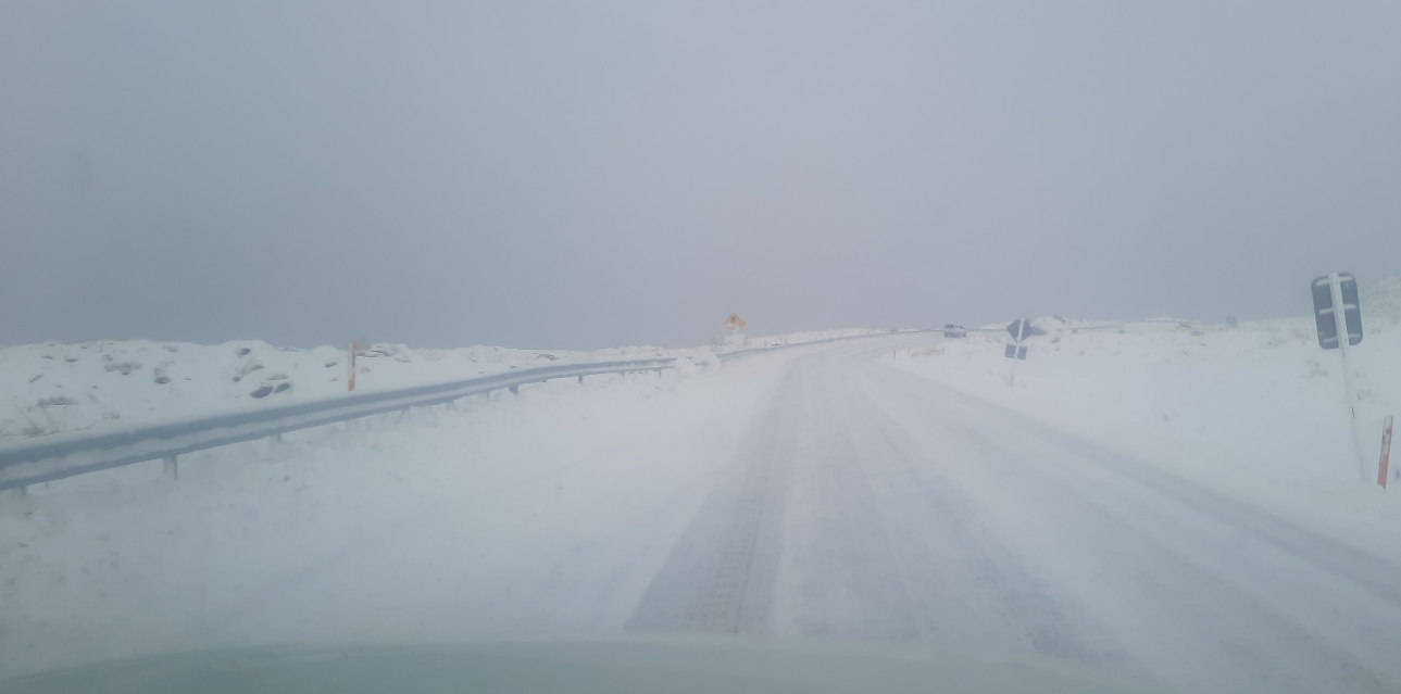
However, a section of State Highway 8 near Tekapo will close again overnight owing to ice and snow, the NZ Transport Agency/Waka Kotahi (NZTA) said this evening.
The transport agency said the Burkes Pass stretch from Tekapo to Fairlie would close at 8pm until at least 10am tomorrow. Reopening at that time was dependent on the weather, NZTA said.
The agency this afternoon advised that all weather-affected South Island highways had reopened after wild weather caused several closures yesterday and today.
Snow forecast to low levels in Dunedin and its surrounds did not arrive due to changing wind directions yesterday, MetService said, and heavy snow warnings were lifted late in the morning after an earlier forecast of up to 35cm of snow in parts of inland eastern Otago.
Just 43km inland from Dunedin, snow was thick on the ground at Lee Stream School, where three of the 10-pupil roll had a day at home after being snowed in.
Thick snow was also reported in Naseby and parts of South Canterbury yesterday.
The snow closed SH85 (Kyeburn to Palmerston) and SH87 (Kyeburn to Outram) for a time today but both had reopened to all traffic, NZTA advised at 12.20pm.
A few light snow showers were possible for Arthur's Pass (SH73) and the Lindis Pass (SH8) but snow was not expected to settle on the roads today.
In an update about 3.20pm today NZTA said all South Canterbury highways had reopened, as had Porters Pass.
Care urged on roads
There was a decent dump on the Crown Range Road, linking Queenstown and Wānaka, yesterday and by this afternoon motorists were still being urged to carry chains if taking the alpine road.
MetService advised a few light snow showers were possible this morning but snow was not expected to settle on the road.
A spokeswoman for the Queenstown Lakes District Council earlier said extreme care was needed and road users should consider the alternative route via Kawarau Gorge if not confident driving in these conditions.
"Please follow crew instructions at checkpoints."
The temperature down in the valley towards Cardrona was sitting around zero, she said, and there were some icy patches and damp and dry sections, so stay alert and drive to the conditions.
"You can expect mainly dry roads around Wānaka, Albert Town and Hāwea with temperatures ranging between zero and one degrees.
"On the Whakatipu side, there was a mix of damp and dry roads with temperatures ranging from zero in Dalefield to a practically balmy three degrees in Arrowtown. As always, be mindful of those temperatures dropping around daybreak."
Crews were out working to make roads safe this morning. Drivers were asked to do their bit by slowing down in the wet and icy conditions.
In Central Otago, it was essential travel only in Maniototo and upper Manuherekia (St Bathans/Oturehua) areas due to ice and snow, a spokeswoman for the district council said.
"Skiffs of snow have fallen overnight and have frozen to the road with temperatures averaging -3° C. Please avoid travel unless absolutely necessary until late morning, expect icy conditions if you do need to travel."
Caution was advised for the Alexandra, Cromwell, Roxburgh areas due to likely ice. Roads were mostly dry but there was some lingering damp areas after rain yesterday and temperatures around -2°C at 6am.
Danseys Pass Road remains closed (from the gates past the Danseys Pass Hotel), due to snow and ice on the Waitaki side.
Southland's Milford Road (SH94) remained open.
Snow in Canterbury, another chilly night ahead
MetService meteorologist Mmathapelo Makgabutlane said it was a snowy night in Canterbury and warned driving could be hazardous today with not only snow but fallen trees in some areas.
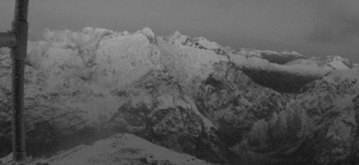
"It has been quite a snowy night again in those Canterbury high country places and even snow falling down to about 200m, we've seen reports of some snow in Fairlie.
"We've seen how the snow has impacted on snow travel and that does look set to continue for today," Makgabutlane told RNZ's Morning Report today.
"We are also keeping an eye on the winds on the West Coast, there have also been reports of roads and travel being impacted out that side from fallen trees and debris."
Westport has recorded its strongest wind of the year with 105km/h, she said.
"I think the main thing of note is that this wind direction is quite an unusual direction for them, hence why those impacts are more likely to be seen."
Makgabutlane said most of the South Island would only reach single digit temperatures today, with Central Otago heading for -5degC overnight and into tomorrow morning.
"At this point it does look to be reaching all the way across the South Island and then on Thursday parts of the North Island could also be on the chilly side."
Orange strong wind warnings remained in force for Fiordland and Westland. And a heavy rain watch was in place for Canterbury plains, Christchurch and parts of Marlborough through until this afternoon.
The NZ Transport Agency also warned drivers on SH6 Westport to Haast, SH7 Reefton to Lewis Pass, and SH73 Kumara Junction to Arthur's Pass to take care due to strong winds.
- ODT Online and RNZ