
Southerners are being warned to prepare for a turbulent three months ahead, with potential dry spells as well as an ex-tropical cyclone or atmospheric river predicted to hit the region.
Niwa forecasting principal scientist Chris Brandolino said La Nina was easing and was likely to become ENSO-neutral by early autumn (where neither El Nino nor La Nina is present).
"Air pressure is forecast to be higher than normal over and to the south of the South Island, and lower than normal north of the country.
"This is expected to be associated with an easterly quarter air flow anomaly for the season as a whole."
On the West Coast, the Alps and foothills, Southland and inland Otago, it meant there would be more frequent offshore winds which would likely bring extended dry spells in mid- to late-January.
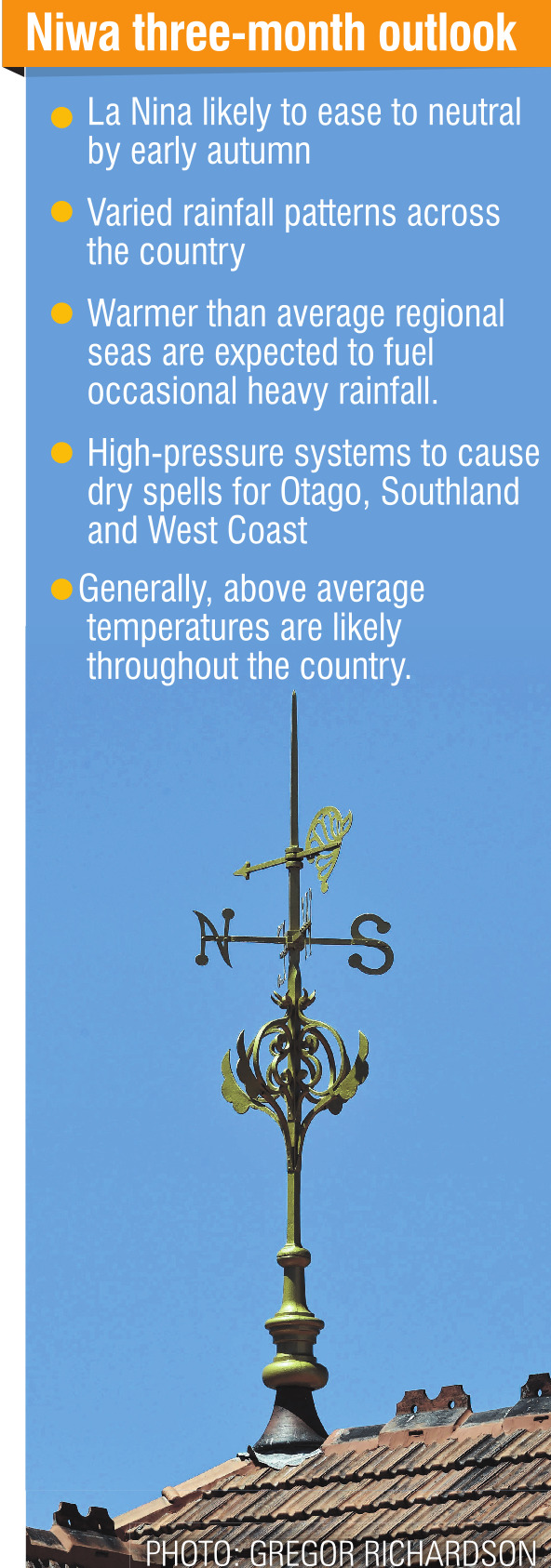
However, the region should also "remain aware" of the potential for an ex-tropical cyclone or atmospheric river, particularly as La Nina eased over the next three months, Mr Brandolino said.
"These systems can cause flooding rainfall, strong winds and coastal hazards."
The picture is similar for coastal Otago, he said.
"Occasional tropical moisture plumes are also possible, particularly for North Canterbury.
"Conversely, nearby anticyclones could increase the risk for dry spells, especially in the southern part of the region during mid- to late-January."
Overall, the outlook is for warmer and drier weather over the three-month period from January to March.


