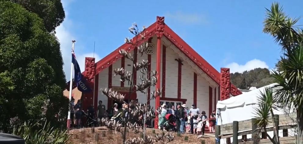
It's a comprehensive interactive digital map, aimed at helping Māori people abroad reconnect with their ancestral homes.
The Māori Maps project relaunched its online platform recently, allowing users to explore more than 780 ancestral marae across Aotearoa, along with the surrounding landscapes.
That comprehensive database includes 24 marae across the South Island, with each site accompanied by detailed descriptions and photographs.
"This way of viewing New Zealand, Aotearoa, is unique," said Māori Maps kaiwhakahaere - or general manager - Hirini Tane.

He says the website was first launched in 2011, but technological advancements were needed to meet their goals.
Each marae listing on the website includes historical and cultural information, helping people - particularly young, urban Māori - understand the deep significance of these ancestral spaces.
"And that's kind of the philosophy we have with the whole site, is the information generated either initially through public, but more recently through marae engagement itself."
The digital gateway is a collaboration between the Te Potiki National Trust and experts across New Zealand.

"This is part of his legacy as well to reconnecting youth, reconnecting descendants to their own marae."
He says the site is a valuable resource for schools, researchers, and anyone interested in learning about the rich histories of Māori communities.

"There's so much more we can do with this and service to our people, our marae, and our communities."
And Tane believes the online platform is a great opportunity for Māori living abroad to reconnect with their tūrangawaewae (place of standing), and help maintain their cultural identity.
- The Māori Maps database can be accessed here: https://maorimaps.com/en
- By Fahim Ahmadasri, made with the support of NZ On Air


