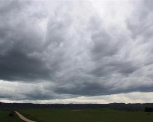
Kiwis should make the most of some sun this weekend as the country is set to get hit with the first cold snap of the year early next week, forecasters say.
MetService duty meteorologist Rochelle Fleming said today would be the warmer day of the weekend.
"It's looking pretty good in most places, probably the pick of the days really."
She said there would be an improving trend in Auckland, Wellington and Christchurch today with a ridge pushing on to the country.
It was looking mostly fine for most centres today, Ms Fleming said.
In Auckland, a few showers in the morning would make way for a fine afternoon with some southwesterly winds and a high of 23C.
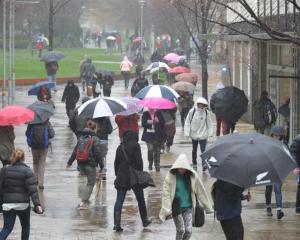
The rain would also subside in Wellington, making way for some sunshine and a high of 16C.
Ms Fleming said unfortunately the weather would begin to turn again for some centres tomorrow.
She said a front coming from the far south tomorrow, would mean strong northwest winds for the capital, rising to gales.
In Auckland there would still be some sun, with long fine spells, westerly winds and a high of 19C forecast.
In Christchurch there would northwesterly winds, meaning reasonably warm temperatures of around 20C, she said.
Looking ahead, Ms Fleming the "really significant weather" would hit on Monday.
"We get a low deepening east of the South Island and some cold air moving on to initially the South Island and then into Tuesday, over the North Island.
"It is the first significant cold outbreak of the year."
She said on Monday and Tuesday it would be much colder than it had been already.
"Monday and Tuesday is when the cold air comes on and then it improves through the week as once that low moves away."
- Nikki Papatsoumas of NZME. News Service