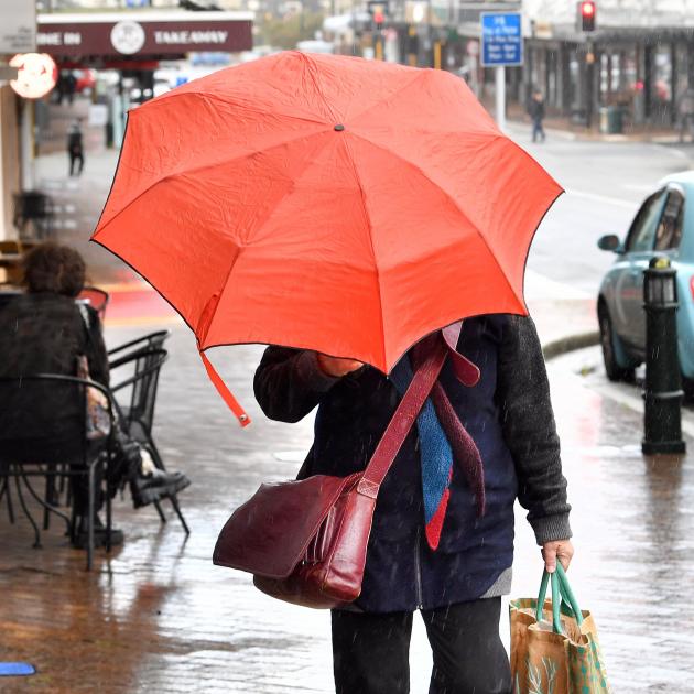
But this year is looking quite different — meaning winter might bite earlier.
The La Nina pattern (which brings weather from the east) dissipated late last year and changed to El Nino which brings more weather from the west.
However, Niwa National Climate Centre forecasting principal scientist Chris Brandolino said the El Nino weather phenomenon sitting over New Zealand at present seemed to be short-lived and was expected to ease to ENSO neutral by June.
The El Nino-Southern Oscillation (ENSO) is a recurring climate pattern involving changes in the temperature of waters in the central and eastern tropical Pacific Ocean, which impact on our weather.
Niwa’s three-month outlook (April-June) shows early April is forecast to be drier than normal for the first few weeks, but then a more unsettled weather regime may arrive during mid-to-late April, bringing chilly wintry weather sooner than previous winters.
He said air pressure was expected to be higher than normal in the New Zealand region, particularly near the North Island.
"This will most likely come with more westerly winds than normal, sometimes strong, reflective of El Nino’s continued but waning influence.
"An increased frequency of southwesterly winds will see chilly air masses affect New Zealand at times.
"The prevalence of high pressure may also generate prime conditions for radiational cooling, contributing to frosty nights and mornings."
He said temperatures on the West Coast, Southern Alps and foothills, inland Otago, and Southland were most likely to be near average, and rainfall totals were about equally likely to be near normal or above normal.
Soil moisture levels and river flows were most likely to be near normal.
"The region will likely be exposed to strong fronts and lows on occasion.
"Hydro-lake inflows during March were below normal at Te Anau, Clutha, and Waitaki (lowest March inflows on record since at least 1926).
"A more unsettled weather regime may arrive during mid-to-late April."
In coastal Canterbury, the plains, and coastal Otago, temperatures were equally likely to be near average or above average, he said.
"Rainfall totals are about equally likely to be near normal or below normal.
"Early April is forecast to be drier than normal.
"Soil moisture levels and river flows are most likely to be below normal."


