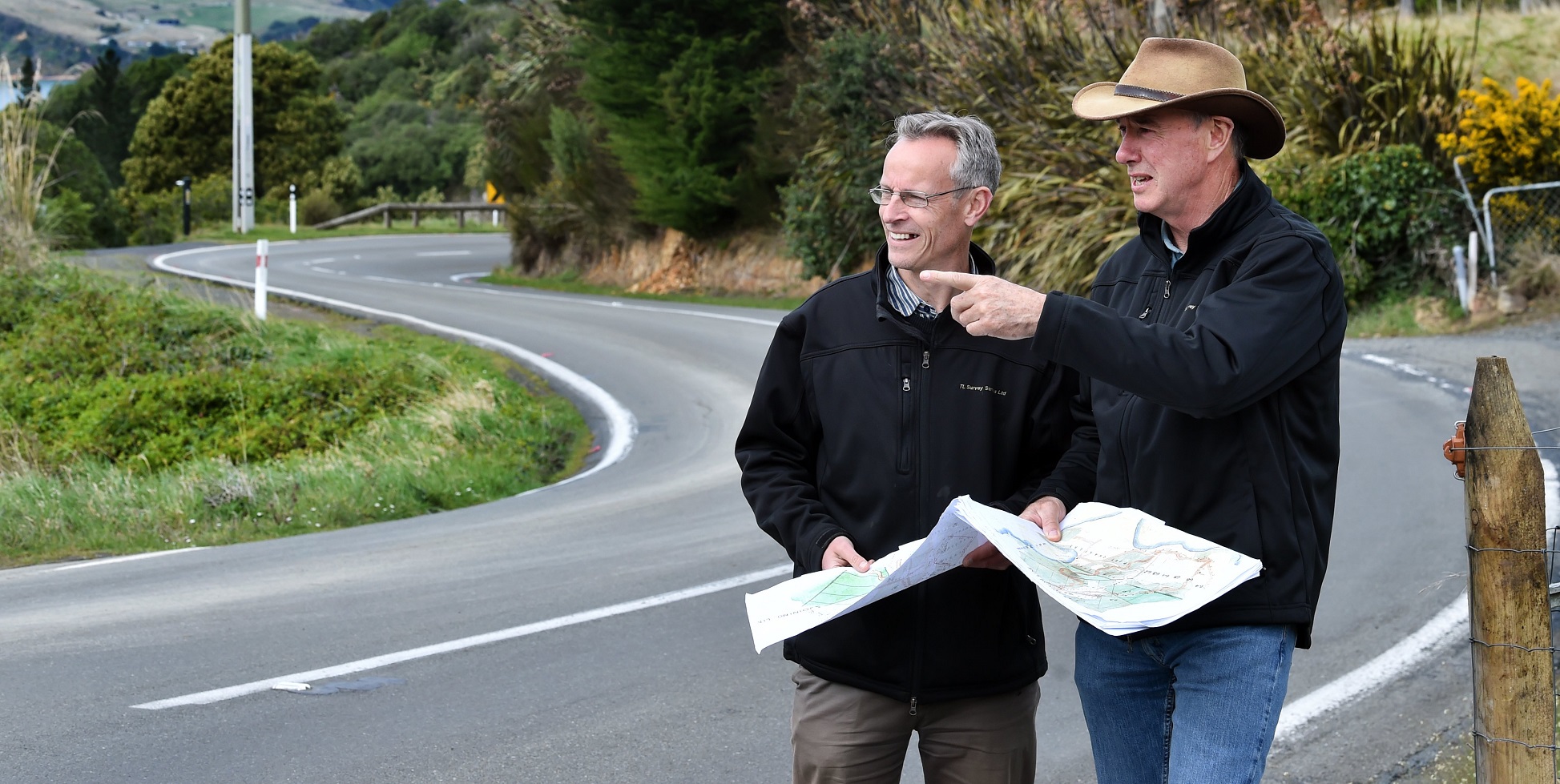
After more than 150 years with hundreds of thousands of vehicles (including horses and carts) travelling the road between Port Chalmers and Waitati, two Dunedin surveyors have discovered part of the road is actually privately owned.
TL Survey Services Ltd manager and licensed cadastral surveyor Mark Geddes and senior surveyor Bruce Soper were in the process of surveying an area on the picturesque route for a subdivision when they unearthed the issue.
"Just like any place, you need to have a driveway, but it has to come off a legal road," Mr Geddes said.
"We found the subdivision didn’t have legal access.
"Few, if anyone, knew before we came along that part of the road that the public drive on from Port Chalmers to the Orokonui Ecosanctuary was not legal road at all."
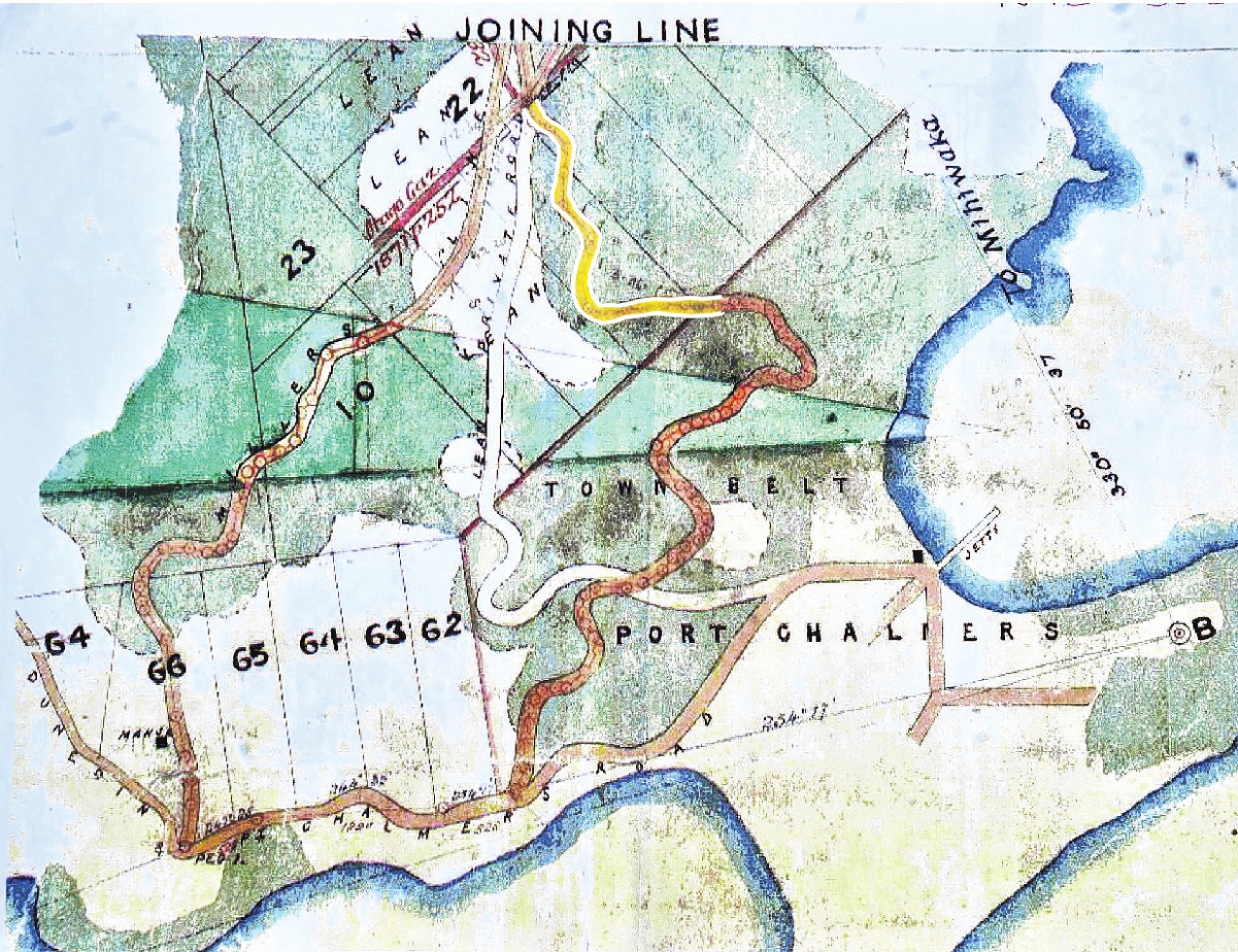
He said their extensive research revealed a large stretch of the road between Port Chalmers and Reynoldstown Rd was on land that had been owned since the early 1860s by two men who had long been dead — William Mansford and Francis Crowder.

"We spent hours and hours at Archives New Zealand going through all the old land deeds — these were all in handwritten script and some of them were quite difficult to read and some had absolutely majestic diagrams," Mr Geddes said.
"We found all the deeds, bar one.
"We couldn’t find the deed where Mr Mansford sold part of the land to Mr Crowder."
So they went to Lands and Survey Ltd to see if they had any of the applications for the deeds.
"We were talking to the woman at the front desk, and by chance this man walked up behind her after hearing what we were asking for, and he said, ‘There was a bunch of those that were given to us — they were found in the lining of the walls of the Early Settlers Museum when it got refitted and became Toitū’."
Sure enough, by luck, the deed they were looking for was in that pile, Mr Geddes said.

Five years after they started their research, they had their answer and now legal actions were under way to change the ownership and status of the land.
As a bonus, their research recently won them an award at the Survey and Spatial New Zealand national surveying conference in Napier.
"We’re over the moon. We’ve likened this to unpicking a very complex old lock, really.
"We found a massive amount of old evidence. The judges said we went well beyond the norm to prove our case.
"You could say there was some luck involved, but you’ve also got to ask the right questions.
"We’re thrilled to have been able to unpick the lock."


