Moreover, several organisations have called for a better understanding of the flood risks for the project planned on what is largely reclaimed land.
Now, an independent review says an emergency plan should be drawn up to manage flooding near the new Dunedin Hospital’s outpatient building.
The Ministry of Health included detailed hydrological surveys of the site as well as analysis of flooding risk in its application documents but several organisations consulted on the consent, which is being considered under a special fast-tracked process, have queried the level of flood risk on both the proposed hospital buildings and surrounding properties.

The panel evaluating the consent application for the first of the twin hospital buildings asked former environment commissioner Russell Howie to compile an assessment of natural risks for the site, on which crews are already building consented foundations and earthworks.
Mr Howie’s newly released report was not an analysis of the issues, he told the panel, and it left open questions on the acceptability of access to the outpatients building and to all the buildings under even modest flood events.
He agreed with the assessment of the ministry’s consultant, Jacobs NZ Ltd, that the site, which is largely on reclaimed land, faced flooding threats from the Leith, from stormwater from the local catchment, and from storm surge and sea level rise.
"Flooding from all three sources may well arise from a single storm and peak flooding from each source may coincide, but they are variables that make the probability of the assumed combined flood effects considerably less," Mr Howie said.
"A more thorough analysis of the probability of flooding from coincident flood events from the Leith, the local catchment, storm surge and sea level rise might refine these probabilities down and give greater assurance of the acceptability of the flooding threat to the hospital."
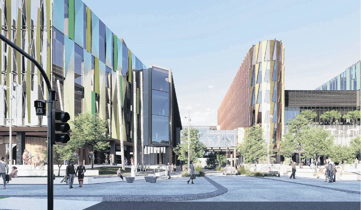
Having assessed what the flood peak as likely to be in a one-in-500 year event, the hospital plans were for the floor level of the building to be 1.8m to 2m above the existing surrounding streets.
"The building will effectively sit on a plinth and will necessitate stairs and ramps to the entrance level," Mr Howie said.
"A condition should require there to be an emergency plan for various flood events, not just the 500-plus year event.
"Flooding in the neighbouring streets in the 500-plus year event would be of the order of 1.5m."
Even a one-in-10 year flood would restrict access to hospital buildings, and for the rare 500-plus year flood event the building would not be able to be used, Mr Howie said.
"Although with a floor level above the flood level no internal damage would be expected and use of the building could be resumed once the flooding had eased.
"Whether access to the building and its services is adequate could be challenged but ultimately it is a risk for the applicant to assess."
Mr Howie noted that, as Foodstuffs South Island Properties Ltd had said in its submission, that it was likely that the nearby New World supermarket would have its flood level increased by the hospital buildings.
"The applicant has responded to Foodstuff’s concerns saying in the 10-year event the increase in flood levels at the site is less than 10mm and for the 500-year event is less than 17mm, both increases the applicant says is at or below the detection level."
The Otago Regional Council had asked the consenting panel to consider the risk of liquefaction from an earthquake on the site, Mr Howie said.
"No identification or analysis of a liquefaction risk to the building has been provided and none should be expected," he said.
"Proper building design would cope with this risk if there is one."
The building was designed to withstand earthquake forces, would have deep foundations, and its floor level would be well above flood level, he said.
"The Dunedin City Council has accepted the flood analysis and effects assessment and requires an adverse event plan to be adopted."


