Members of the Bayfield Jaycee Chapter built and installed the popular fibreglass relief map on Portobello Rd about 40 years ago, close to the route visitors originally took to access the Peninsula.
Representatives from the Otago Peninsula Community Board and Trust, Bayfield Jaycees, and the Dunedin City Council gathered for the unveiling, which represented the culmination of a five-year restoration project,.
Mr Cull congratulated the members of the Bayfield Jaycees for their foresight in establishing the pioneering tourist amenity.
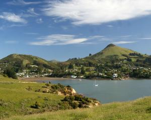
The restored map displays the many attractions of "the jewel in Dunedin's ecotourism crown", Mr Cull said.
Otago Peninsula Trust chairwoman Irene Scurr said the map had been updated to include traditional Maori place-names and new attractions which make the area such a popular place for visitors.
"You think back to the founding tourism ventures here - the Barker family renovating Larnach [Castle], the McGrouthers' penguin trust operations - now we have so many new businesses," she said.
The map, which was moved to its current site on Portsmouth Dr about 15 years ago, had been "reorientated" to match the lie of the harbour, DCC transport project manager Michael Harrison said.
A parking bay and chain-link fence also made it safer for pedestrians and cyclists travelling along the busy harbour route to access the map, he said.
The project had stalled about five years ago, until the council's transport operations team got involved with the various community groups to push through funding to reposition the map and have it restored, Mr Harrison said.
Advertisement


