- Read feature: Together apart
A capricious kink in the International Date Line, at longitude 180 degrees west, is all it takes to turn yesterday into today.
Unmodified, the date line would ordinarily place mainland Aotearoa New Zealand at the start of a new day and the Chatham Islands in the previous day. You cross this north–south meridian about 200 kilometres west of Waitangi, however, in the interests of national unity and convenience, the invisible line was arbitrarily shunted eastwards to take in the Chathams in the south and Tonga, Sāmoa and Tokelau in the north. The upshot of this: Chatham Islands is 45 minutes ahead of the New Zealand clock (formalised by New Zealand law in 1957). By this mapping marvel, the Chathams welcomes sunrise on the same day as the New Zealand mainland, a promotion that suits the island people just fine.

Rēkohu and its outliers are perched near the end of a huge submerged peninsula, the Chatham Rise, which extends evenly due east from the North Canterbury coast for almost 1000 kilometres. It has been described as one of the world’s richest fisheries. When New Zealand’s Exclusive Economic Zone (EEZ) was designated in 1978, the Chathams boosted its eastward extent, encompassing, by international decree, all the sea in a radius of 200 nautical miles (370 kilometres) of the coastline, to become the fourth-largest marine realm in the world. The Chathams group, with around 600 residents, is the only such island in the New Zealand archipelago possessing a permanent population. Its location so far out to sea (Napier is the closest mainland port, 780 kilometres from Waitangi) underlines the geopolitical strategic importance of all outlying islands. Their contribution to the nation’s marine assets is way out of proportion to their size.

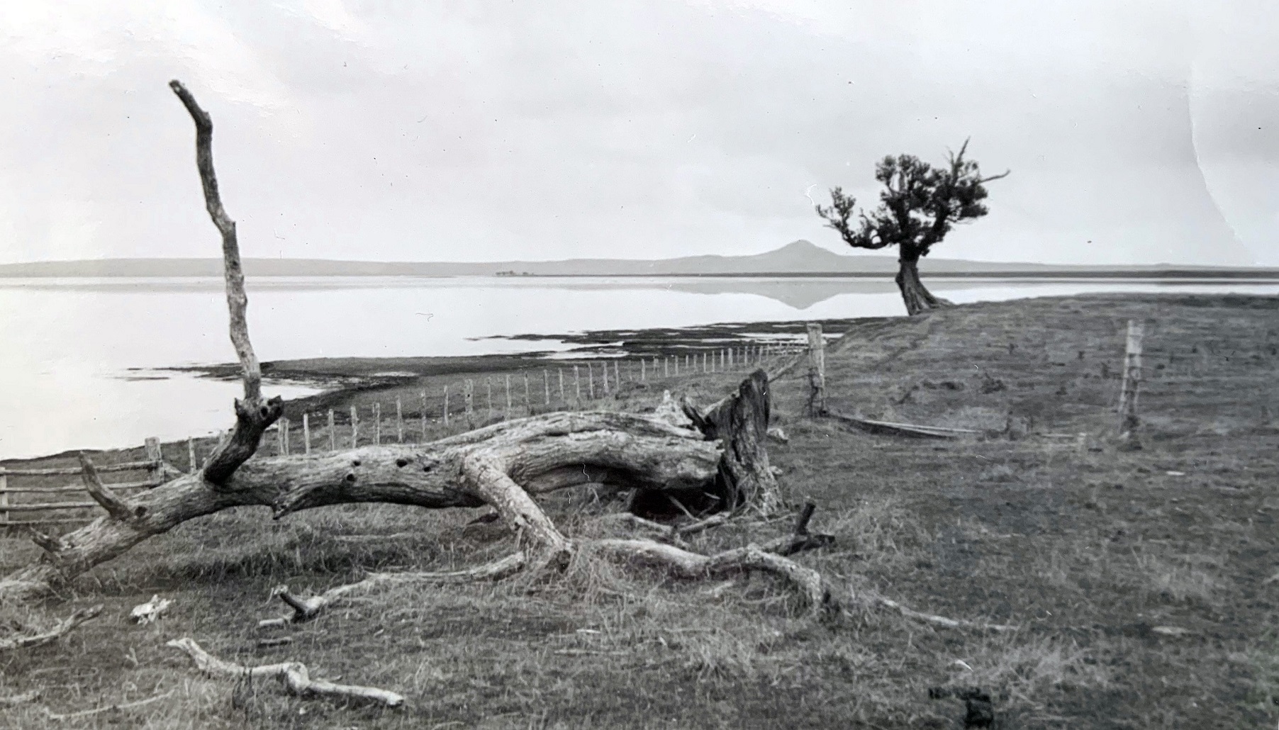
The northern half of Chatham is a gentle landscape of extensive peat fields, dotted with low hills. It smacks of a place not-long emerged from the sea, which in fact is the case, uplifted from the sea just three million years ago. The southern half is hillier, with more intact native forest, and the south coast signposts the island’s volcanic history in the form of continuous basalt cliffs for 20 kilometres. To the south-east, 17 kilometres away, is Pitt Island, the only other permanent settlement. It is surrounded by islets and stacks, some of which are nature reserves and rare-bird sanctuaries.
In 1791, the first Europeans called in to Kaingaroa aboard the brig HMS Chatham, an expedition ship named for the Earl of Chatham, whose real name was John Pitt, First Lord of the Admiralty. Chatham’s commander, Lieutenant William Broughton, promptly gifted the name to the land as if it were just newly discovered by humans. On the contrary, people had lived here for some 500 years, the Moriori people, discoverers of Rēkohu, hunter-gatherers who had become isolated from mainland Māori for so long they’d developed customs and a dialect distinct from the tribes of Aotearoa, including a practice of peaceful coexistence, their population estimated to be approximately 2000 at the end of the eighteenth century.

The talk
Neville Peat will give an author talk about his new book Home Is An Island at the Dunedin City Library, fourth floor, on Thursday, November 24 at 5.30pm.


