The former gauge in Sumner has been soldiering on, in spite of being buried by large amounts of rock and debris that fell into the ocean during the February 22, 2011, earthquake.
It needed to be replaced because GNS Science staff could not access the site to service the tsunami gauge.
“It is impressive that the current gauge is still operational after all these years,” said GNS Science remote infrastructure operations co-ordinator Kris O’Brien.
“Rocks that have been reworked by the ocean around the Christchurch coastline have broken up and washed ashore, burying our current gauge’s protective covering.”
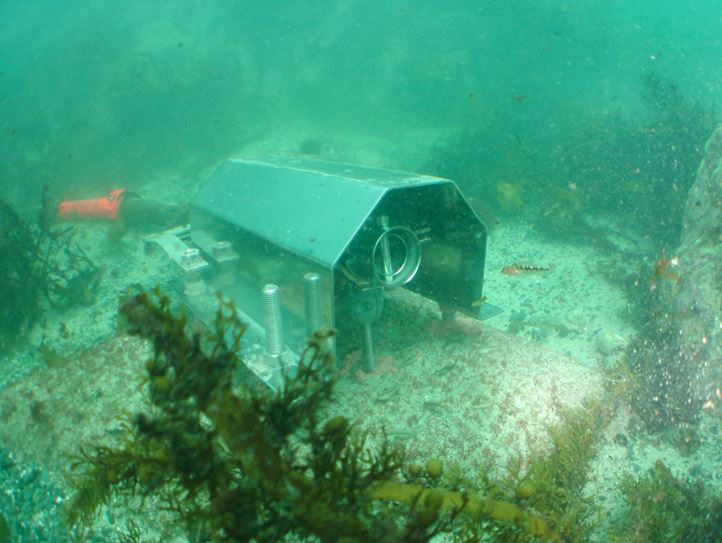
Tsunami gauge data is collected by two pressure sensors at each site so that there is a backup in case one fails.
“We are unsure of the remaining lifespan of the current sensors, and so the need to choose a new site was important for our tsunami monitoring network,” said O’Brien.
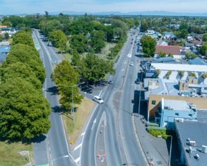
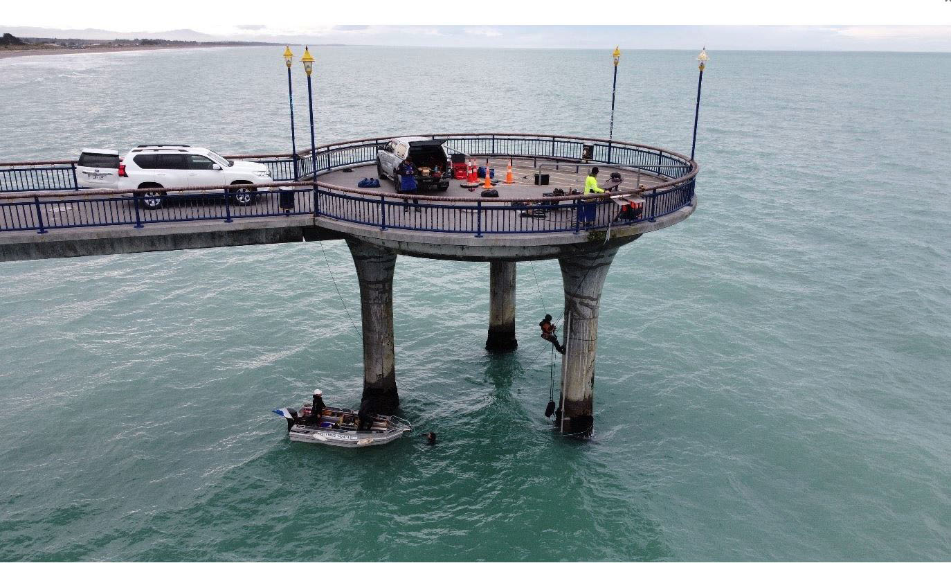
New Brighton Pier was chosen as the new site location for many reasons, including its distance from the shore (where it will be immune to rock build up), its useful exposed location to record a tsunami, ease of access to service the equipment, and the desire to maintain tsunami monitoring capabilities in Christchurch.
The tsunami gauge uses pressure sensors and measures sea level variations by comparing pressures at the surface with atmospheric pressure and calculating a water height. It confirms the occurrence of a tsunami and can help to forecast and alert other regions of what they might expect. It is designed to capture a large level change over a short timeframe.
The install was similar to other wharf sites that have been built before, but each site has its challenges.
A lot of design work went into planning the brackets, which were specially rolled to fit the pier leg, and steel pipe that houses the cables.
Due to the challenging location, abseilers and divers were needed to complete the install, which only took two days.
The site is part of Land Information NZ’s network of 18 tsunami gauge sites around New Zealand’s coast.
GNS Science maintains and monitors these sites, and reports its data on the GeoNet website.
The old site will continue to operate for several months to line up data with the new site, ensuring a constant stream of Christchurch tsunami gauge reporting.