Two years ago residents gave the area around the historic Red Bridge at Luggate a "bit of a tidy-up" in preparation for the bridge’s centenary celebrations and that gave them an idea to make better use of the land. Kerrie Waterworth reports on the progress of what is now a 10-year staged project to turn the wasteland into a recreational and historic reserve.
Walking around the predominantly scrubby woodland, it is hard to imagine the north or left bank of the Clutha River becoming a popular picnic spot, a place from which to enjoy the view of the historic bridge or a relaxing place to break your car journey.
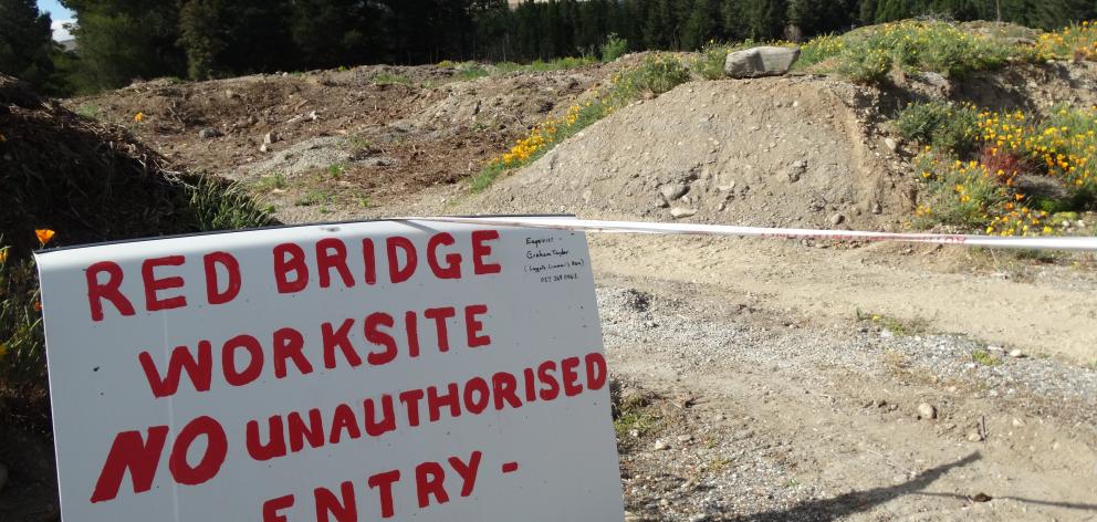
Luggate Community Association member and Red Bridge historical reserve project leader Graham Taylor says the area has "become ugly over time" because of its past use as a gravel reserve and an unofficial dumping ground before being decommissioned and reclassified by the Queenstown Lakes District council as a historic reserve.
Mr Taylor said the impetus to redevelop the area came from a group of locals when they uncovered the remains of the old Luggate punt and gold-mining relics during a working bee to create a temporary car park and open space for the historic Red Bridge centenary celebrations two years ago.
"We all suddenly thought ‘why don’t we do something with this area?’"
He said the original plan was to create a "tiny centennial courtyard’’ but when the project became a joint partnership between the Luggate Community Association, the QLDC and the Department of Conservation, the council offered "to do things properly" and commissioned Wanaka landscape architect Anne Steven to draft a landscape concept plan and heritage expert and consultant Matt Sole to do a historic assessment.

She said although the plans were going to take "a very long time to implement", when the project was finished the reserve could become the gateway to the Clutha-Luggate-Wanaka area.
However, the first and most urgent problem they faced was finding a way to deliver water for irrigation to the reserves, she said.
"If we can get a water system in place then we can replace some of the pine trees and scrubby old willows with native trees but also bring back some exotic species, particularly poplars, because they are part of the character of this area."
Ms Steven said there were also "huge opportunities" to link in with cycle trails and create new ones along the left side of the river, and to use an old historic road that was the original access road to the old Luggate punt.
Heritage consultant Matt Sole agreed, describing in his report the possibility of a cycle link to some of the "incredibly rich" heritage value sites on both riverbank reserves. In his archaeological survey he recorded mining occupations in two places, a tent site, a habitation slightly built into the ground that could also have been a tent, as well as the remains of a leather shoe and old soldered cans. Mr Sole said he believed the miners were most likely to have been Chinese, as other Chinese miners were known to have worked further up the river.

He found historic remains of gold diggings on both banks of the river, including on a strip of Doc land on the true right bank of the river.
They provided a "significant" example of low-volume herringbone ground sluicing and on the northern reserve there were the remains of low-volume water races, including a stone aqueduct built to convey water across a sluiced-out gully, "which is quite a neat feature".
He found no evidence of Maori occupation on the two approaches to the river but as Hawea was known to have been the largest recorded temporary settlement before European occupation, he believed Maori probably would have crossed the Clutha River at this narrow point and used the river as a means of transport.
There was also the "amazing story" of the Luggate ferry.
"For many years it was the only way of getting across the river and there is a heap of history associated with its operation still there, not to mention the fact that the ferryman lived on site. We know where his house was and we have photos, so we have a really rich provenance."
The Luggate ferry operated from the 1880s until its closure in 1915, when the Red Bridge opened. Pressure came from the community to build a bridge after traction engines were found to be too heavy for the ferry.
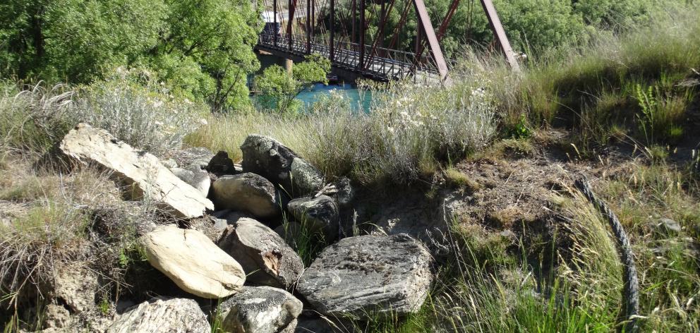
On both the proposed reserves he found "a significant amount" of intact Luggate ferry features such as the remains of the cable and anchor points and ferry access and landing, which could be "exposed and interpreted", Mr Sole said.
Combined with the advanced engineered truss Red Bridge, it could make for a heritage recreational and amenity landscape of regional and national significance, he said.
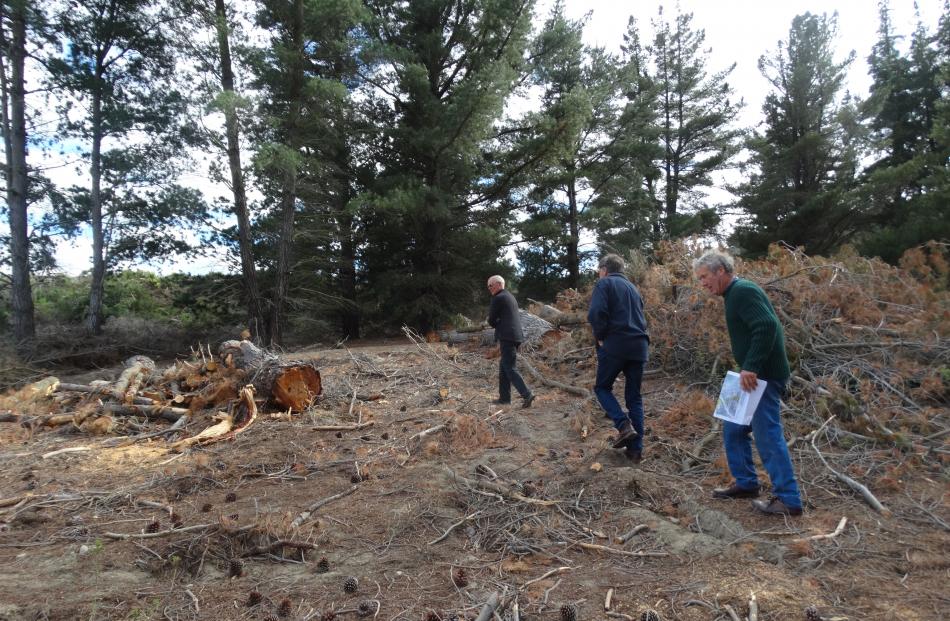
The completion of a "significant stage" of the Red Bridge recreation reserve project was the removal of 13 trees around the punt anchor site.
With an estimated 10-year timeframe to complete the visitor facility development on the Luggate Red Bridge true left bank and Luggate ferry true right bank there is still a long way to go.
However, Luggate Community Association chairman Graeme Perkins, who has called the project "flipping marvellous" and a "great community initiative", said he was confident community support for the project would continue.
In the meantime Mr Taylor has raised the possibility of using the former gravel pit as early as next year to host the Luggate community midwinter dinner.
"We mightn’t have a hall anymore but we could have a midwinter barbecue and a bonfire there," he said.


