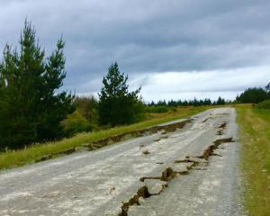
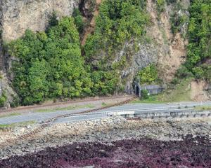
A new satellite-based tool published by Landcare Research has provided one of the clearest views yet of what changes last month's 7.8 Kaikoura earthquake wrought on the landscape.
The institute has adapted satellite imagery mapping to reveal how North Canterbury and Marlborough appears before and after the 7.8 mainshock on November 14.
The ``swipe'' tool exposes major landslips that have occurred along the coast between Mangamaunu and Wharanui, along with Kaikoura's freshly uplifted coastline.
Landcare Research remote sensing research leader Dr David Pairman said the map drew on data his team used regularly for other purposes.
``We put this mapping tool together specifically for this imagery, but it leverages off other work we've done.''
Dr Pairman said the tool could also be repurposed for other work, such as analysing large changes in vegetation.


