The West Coast Regional Council has made a submission on the draft GPS for land transport after it was released on March 4.
A report to the council’s resource management committee on April 9 noted a reduction in climate change resilience projects under the proposed GPS which would directly affect the region’s ability to maintain a viable transport network.

Significantly, any investigation and move of SH6 south of Franz Josef was not included in "major transport projects".
"The West Coast district councils have concerns about reduced funding in a number of areas that will potentially affect maintenance and improvement of state highways and local roads in the region", acting planning team leader Lillie Sadler said.
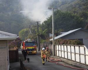
At the same time "more frequent and severe weather events" would affect the region’s transport network.
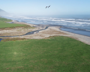
Fears about the significant natural hazard risk to the tourist hotspot of Franz Josef is behind the idea of shifting the highway south of the township.
This move of the road is a key aspect of council’s preferred 10-year management strategy for the Waiho Flat/Franz Josef area, presented in October 2023.
Under the strategy,y the south bank-Waiho Flat area would be progressively abandoned, the highway moved, and the stop banks on that side pulled down to let the river fan out.
The idea is to lower the risk to Franz Josef on the river’s northern bank due to rapid buildup of gravel in the Waiho riverbed, which is increasing the risk of flood-bank overtopping.
The road move has been mooted for several years already and is expected to cost tens of millions of dollars.
Minister of Transport Simeon Brown has been approached by LDR asking why the road move is not on the priority list.
Ms Sadler said a submission on the GPS was prepared on behalf of the three district councils as road control authorities, with the regional council invited to support it.
The draft West Coast Regional Land Transport plan’s 30-year vision of a safe, resilient and connected multi-modal transport network which enables the region "to thrive" is outlined.
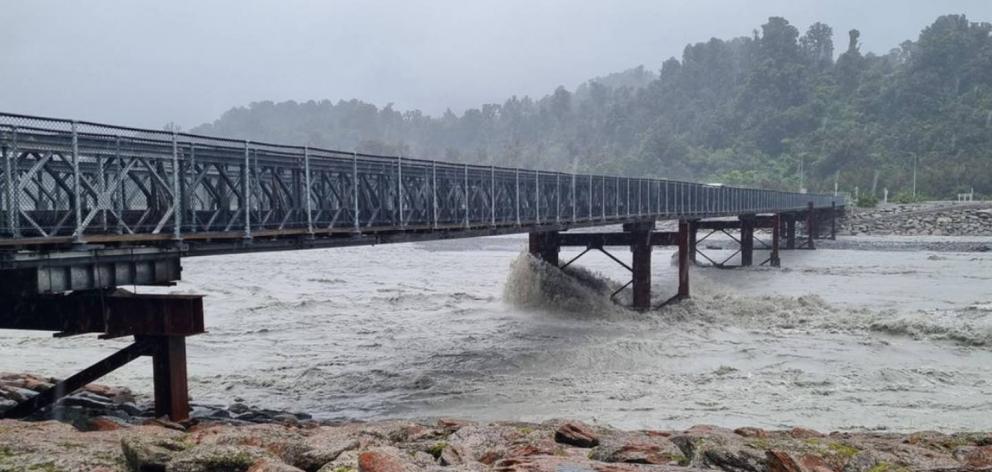
"The West Coast is heavily reliant on the one north-south route, State Highway 6, providing the main arterial road functions for communities across the region", the submission said.
"Continual weather-related emergencies have highlighted the vulnerabilities of the network, and how this creates disruptions and at times displacement for our communities."
The submission noted Ministry for Environment projections from 2018 indicated it was "very likely" rainfall for the west of the South and North islands in winter and spring will increase in the next 70 years.
The submission also notes "with concern" a shift backward in the proposed GPS over the way local road-bridge replacement projects are assessed.
It said the current "streamlined process" for approval of like-for-like replacement of end-of-life bridges and structures had been a substantial improvement in efficiently demonstrating when investment in replacement of a bridge should take place, "without the need for a more extensive business case."
— Brendon McMahon, Local Democracy Reporter
LDR is local body journalism co-funded by RNZ and NZ On Air.