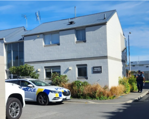
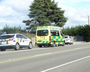
This morning, MetService upgraded its snowfall warnings for southern areas and authorities warned of dangerous driving conditions in Southland and Otago.
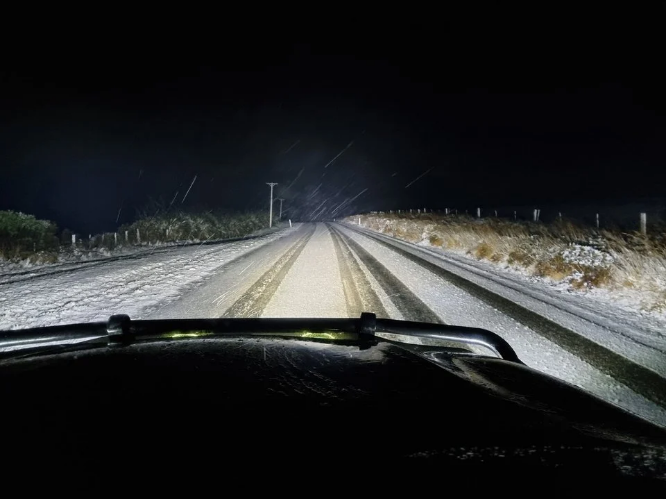
Snow flurries have been making their way up the South Island and hit Dunedin, as expected, by about noon.
Porters Pass reopened at about 12.30pm but winter driving conditions are still in place and road users are advised to take extra care
SH7 Hanmer Springs to Springs Junction (Lewis Pass) has reopened.
MetService issued an orange heavy snow warning for Clutha, Southland and Fiordland.
The warning is an upgrade from the heavy snow watch issued for much of the lower South Island.That earlier watch included Central Otago (south of Lake Wakatipu) and Stewart Island.
Strong southwesterlies are expected to bring frequent showers and snow to low levels.
Heavy snow may fall above 300m at times in these areas, and may approach warning criteria in places.
Waka Kotahi NZTA has issued snow and ice warnings for all Southland State Highways (SH 1, 6, 93, 94, 95, 96, 97, 98, 99).
State Highway 1 from Dunedin to Waitati is also under a road snowfall warning until midnight. About 1cm of snow may accumulate above 100m at times.
Crown Range Road was closed this morning but reopened at about noon.
State Highway 93 between Mataura and Clinton was also closed for about 2 hours from 7am but has now reopened.
While all local roads were currently open, there is 1- 2cm of slush on some of the higher altitude roads. These roads include; Crawford Road, Diamond Peak Road and Kaiwera Road.
Waka Kotahi NZTA has issued told drivers to take extra care on State Highway 87 between Kyeburn and Outram, and SH85 between Alexandra and Kyeburn due to snow and ice.
Central Otago District Council also warned motorists to slow down and drive to the conditions as snow falls on roads throughout the Maniototo, Manuherika and Roxburgh areas.
Temperatures are expected to drop as low as -2°C inland.
In Dunedin, snow showers are expected to affect the Northern Motorway, from Dunedin to Waitati (SH1), from later this morning to midnight tonight, where 1cm of snow may accumulate at times above about 100m.
MetService meteorologist Mmathapelo Makgabutlane said it was possible snow would fall and settle to about 300m in Dunedin’s hill suburbs, but it was unlikely to create traffic disruptions."There is a lot of cold air on the way that will bring snow to 300m-400m, and there could be some snow flurries even lower than that.
"It looks like it will be arriving in Dunedin anytime from late morning.
"At this point, it looks like the heaviest snow will happen a bit higher up, but if it does snow in Dunedin and it starts settling on the road, people should take extra care on the roads.
"It is definitely an evolving situation, so we’ll be keeping a close eye on it."
It would certainly be very cold, the mercury only reaching a high of 6°C, she said."It’ll feel pretty chilly and wintry. If there are some snowflakes floating around, it’ll feel like a proper winter’s day."
In Central Otago, Hawksburn Rd, from Clyde to Cromwell is closed and Danseys Pass Rd is restricted to 4WD access only.