MetService is warning of "major impacts", including threats to life from dangerous river conditions, in an upgraded red heavy rain warning for parts of Otago.
The forecaster issued the update shortly before 9.30am today.
The warning - the first such for Otago - covers Dunedin, North Otago, and coastal Clutha for 34 hours from 11am today until 9pm tomorrow.
In response, the city's Civil Defence bunker is being activated, and sandbags are being made available in South Dunedin, Mosgiel and Middlemarch.

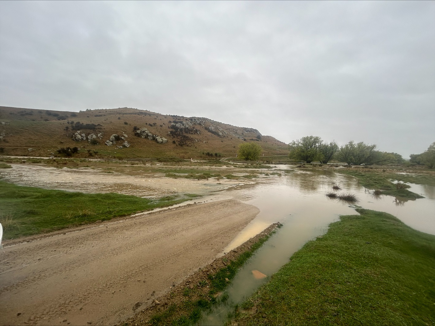
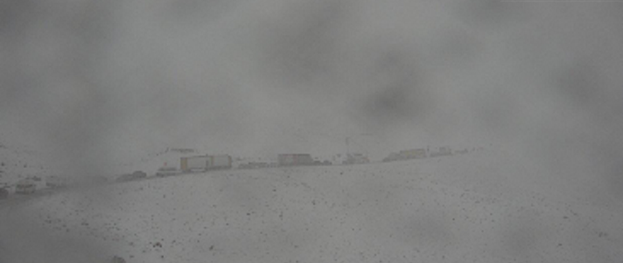
Surface flooding has also been reported further afield, and snow has closed the Lindis Pass (State Highway 8).
A DCC spokesman said rising river levels were also being monitored by the Otago Regional Council.
MetService said the region could expect 120 to 150mm of rain, with the heaviest falls about the eastern hills, and peak rates of 8 to 15mm/h.
"Note that the amount and duration of rain is highly unusual for this area and it may cause major impacts."
The forecaster said there was a threat to life from dangerous river conditions, significant flooding and slips. It warned that conditions would disrupt travel, make some roads impassable, and isolate communities.
People were urged not to enter floodwaters, and to avoid travel.
"Act quickly to self-evacuate if you see rising water. Be ready for power and communications outages."
There is also a heavy rain watch for inland Clutha and Southland, for 24 hours from midday today, and a strong wind watch for Fiordland about the fiords, for 19 hours from 9am today.
First red warning for Otago
MetService meteorologist John Law said it was the first red warning issued for Otago since the service started the colour system in 2019.
He said red warnings were reserved for the most extreme weather events "where significant impact and disruption is expected".
"The escalation to a red warning comes as the region is set to experience a prolonged period of rainfall following a very wet September".
"We've seen plenty of rainfall already down across those south-eastern areas of the country, not just today but also throughout September, so this rain falls on top of already very wet ground. The reason for the upgrade is because the rain is looking like a fairly significant amount," he said.
"While the heaviest rainfall will be up in towards the hills and the ranges that water will have to go somewhere so feeding through in towards the rivers as well, so even in those urban areas it's going to be a wet few days."
In the last 24 hours the region had seen about 30mm of rainfall, Law said.
"With another 120 to 150mm of rainfall possible as we head through the rest of Thursday and through into Friday it will be causing our rivers to rise and may cause some flooding, and of course floodwaters are incredibly dangerous places to be so avoid those if you can."

'As ready as we can be' - mayor
Dunedin's mayor earlier said the council was "as ready as we can be" for a possible two months' worth of rain over the next couple of days.
"The rain overnight was not too bad, there are crews on standby for later this afternoon, they were stood down last night," Jules Radich said.
"From midday today until midday tomorrow is the danger period and there are some spots with quite high rainfall predicted."
A localised downpour could cause problems, but drains had been cleared, Radich said
There was a sandbag centre in town if people felt they needed them, he said.
"We're as ready as we can be.
"I don't think our rivers will have too much trouble with this, speaking optimistically."
The council this morning said contractors were out and asked people to help by clearing gutters if possible and leaving debris on kerbs for collection.
Sandbags were available at the Dunedin Ice Stadium carpark on Victoria Rd, and the Mosgiel Memorial Park gym carpark on Gordon Rd, and would be available in Middlemarch later today.

The Central Otago District Council says surface flooding has been reported around the Ida Valley area and crews are out monitoring the situation. Auripo Rd is closed between Boundary and Thurlow Rds due to flooding.
The Clutha District Council says Taieri Ferry Rd and Toko Mouth Rd are both closed, owing to flooding, and there is surface flooding on Back Rd, Milton.
Emergency Management Otago stakeholder engagement adviser Erica Andrews earlier said it was monitoring the rainfall situation.
"Streams and rivers may rise rapidly, while there’s likely to be surface flooding, slips, and difficult driving conditions."
Niwa forecaster Seth Carrier said the heavy rain would affect much of the country today.
The agency yesterday said up to two months' worth of rainfall could hit in parts eastern Otago.
MetService forecaster Mickey Malivuk said with grounds already saturated, the situation was "interesting".
"We’ve got a band of rain moving slowly eastwards, but it’s likely to hang around in the eastern areas of Otago and the South longer than usual. It’s going to be quite a lot of rain for that region."
- additional reporting RNZ/ODT Online


