As more land, which was once open farmland, gets replaced by roading and houses, more pressure is being put on the Selwyn district’s drainage networks.
Selwyn was recently plunged into a state of emergency as it was hit by two months of rainfall in 48 hours on ground already wet from heavy rain over Easter weekend.
It led to bad flooding at Tai Tapu, Ladbrooks and Doyleston.
Springs Ward Selwyn district councillor Grant Miller said people should expect this to be the new normal.
“The developers have been very good at building subdivisions, roads and stormwater plans to get the water in a pipe and to the river, but once it hits the river, there has been very little thought given to how to manage the increased water flows,” he said.
Miller said two waterways particularly affected were the L II River, which runs from Lincoln out to Te Waihora/Lake Ellesmere, and the Halswell River, which runs from Halswell through Tai Tapu and out to the lake.
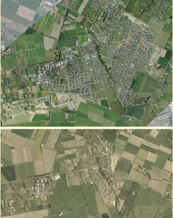
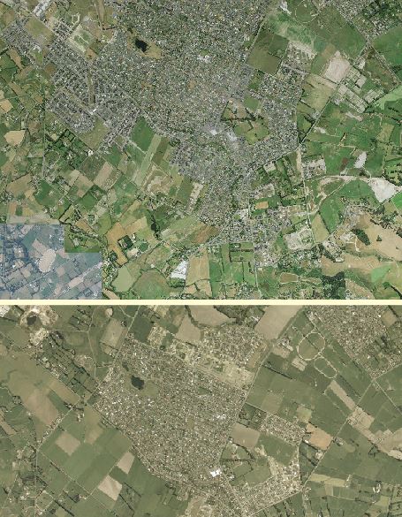
Since the earthquakes, Halswell and Lincoln have grown rapidly.
Halswell has grown from an estimated population of 11,000 to 20,000, while Lincoln has grown from an estimated 3600 to 11,600.
In Lincoln, another 2100 homes are expected to be built as part of Earlsbrook, formerly Lincoln South. In the subdivision plan, part of the land has been allocated for a wetland area which will feed into the L II.
While tricky to link stormwater run-off from subdivisions, each hard surface such as a house has replaced what was once farmland, which would have drained naturally rather than via drains.
Since the February 2011 earthquake, new homes must be built on technical category 1 land. This means in places like Lincoln developers have to strip the soil back and compact it so there is an impermeable layer, forcing water to run off via the stormwater network rather than through the soil.
Environment Canterbury general manager of hazards Leigh Griffiths said there are no major upgrades to the Halswell drainage scheme planned, but it is investigating additional storage in the upper Halswell catchment to improve water management.
“Previous work in other areas has found that subdivisions don’t significantly affect peak flood levels. However, they can increase the overall volume of water in the drainage network,” Griffiths said.
L II Drainage Committee secretary Brian Moir said it was fortunate the L II had its weed cut before the storm, assisting flow.
“If we hadn’t done that, it would have been chaos.”
Moir said when he was young the L II used to have silt removed by a drag line. While not to the same extent, Moir said some sort of silt removal could happen in sections over a five-year period.
“If it gets high because there is too much silt or weed in it, the high water level kills the grass on the banks, and when the water level drops, the banks fall, so we want to try and prevent that from happening.”
District council head of operational delivery Gareth Morgan said it has recently engaged separate engineering consultants to re-survey the L II in order to understand its capacity, changes over time, and inform future development requests that may feed into or impact this network.
Another issue that has increased is landowners being less co-operative about drain maintenance.
Said Miller: “What we are seeing is that your traditional Selwyn landowner was a farmer who understood the value of drainage and the need to maintain it.
“With the advent of lifestyle blocks, there is a proliferation of people who may not have the rural knowledge or don’t understand the value of drainage, so they don’t commit funds to maintaining their drains or allowing access to the council contractors to maintain their drains.”
Also questioned during the flooding was whether Te Waihora/Lake Ellesmere could have been opened earlier.
Said Griffiths: “A consultation group made up of organisations representing different interests gives advice on the potential opening. We will meet with this group within the next month to discuss lake management. For now, we are happy with how the process is managed.”
In the group are Te Taumutu Rūnanga, the Department of Conservation, the Lake Ellesmere/Te Waihora Rating District liaison committee, North Canterbury Fish and Game Council, Lake Ellesmere Commercial Fishermen, the district council, Christchurch City Council and the Waihora Ellesmere Trust.
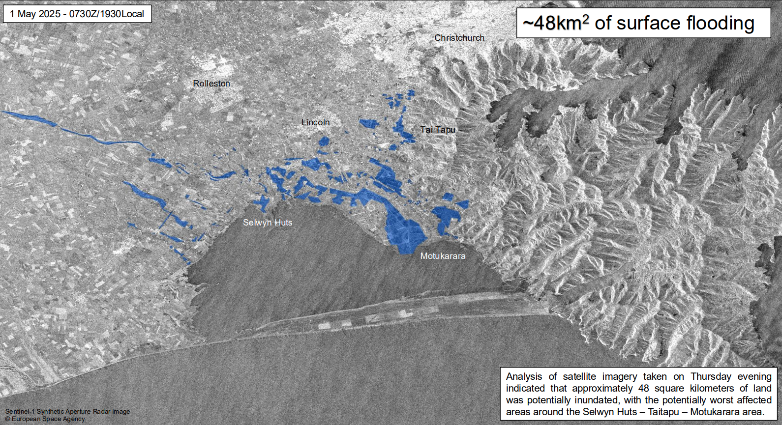
Where the rain hit
Selwyn District Council Civil Defence manager Al Lawn said the storm lingered in Selwyn a lot longer than was expected.
“We had a weather system coming down from the tropics, it sat outside Pegasus Bay, and then we had another weather system coming from the south and they met together. It was supposed to go north and be an issue for Waimakariri, Hurunui, and Kaikoura, but stayed south and hit us.”
While the water pooled where it is expected to, the likes of Tai Tapu, Ladbrooks and Doyleston were hit harder.
Post the rain event, council conducted 48 building assessments, of that 41 were deemed safe and seven were restricted for a short time.