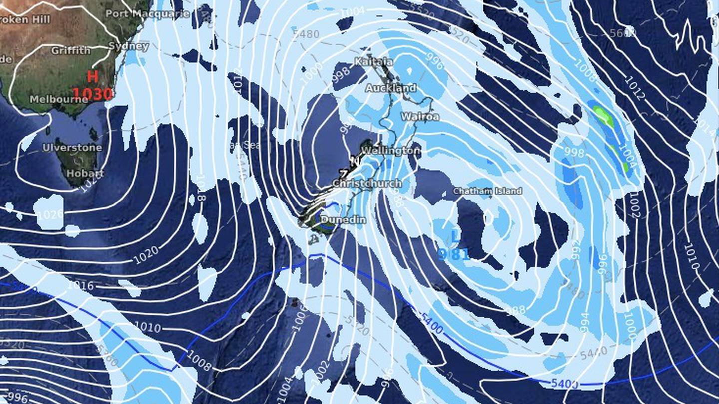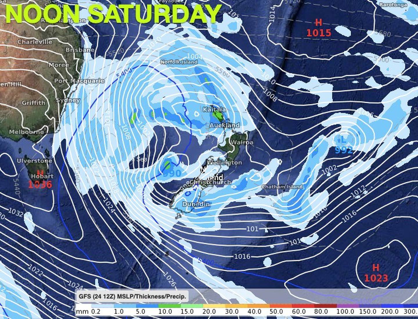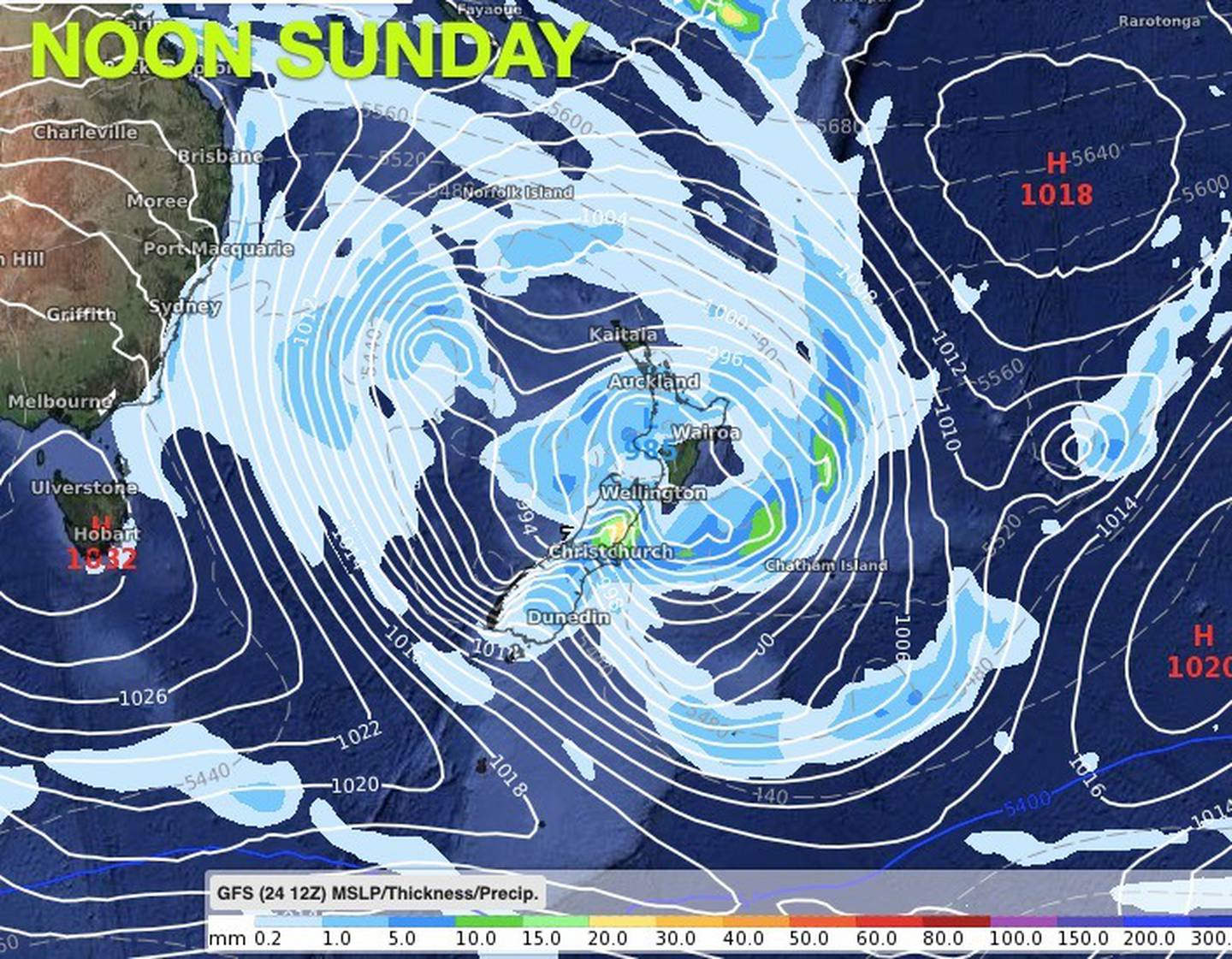
However, while a wintry blast will hit the country's eastern coast, there could be other areas that bask in sunshine due to the severity of the storm.
Usually bearing the brunt of any storm, the West Coast is set to be among the driest areas for the next seven days, according to Philip Duncan at weatherwatch.co.nz.
Duncan says it's still too early to specify exactly where the weather will hit, but "early indications" did show up to 40cm of heavy snow landing on the Southern Alps and Alpine Highways this weekend.

The south to southwest flow will see Canterbury hardest hit by rain too, with early estimates of between 70mm and 90mm through inland areas, including Darfield.
"This rain, if it does eventuate, will be very welcome in the dry region," Duncan said.
As the North Island has milder westerlies at the end of the week - after a gusty few days - it will be the South Island's turn by Sunday, with the strong winds battering eastern Australia likely to be felt here by then.
Despite the storm, MetService has South Island temperatures hovering around 10 or 11C - similar to today - although Christchurch is currently just warming up after an overnight low of 1C.

Diggers and bob cats will be at the ready to help lessen the impact of the larger-than-normal swell set to batter areas, including Whitianga.
Towler said the large swells are forecast to hang around until about Saturday but they were ready for it.
"Really, we're just going to be business as usual. Over the next few days we don't anticipate any risk to people or property."


