
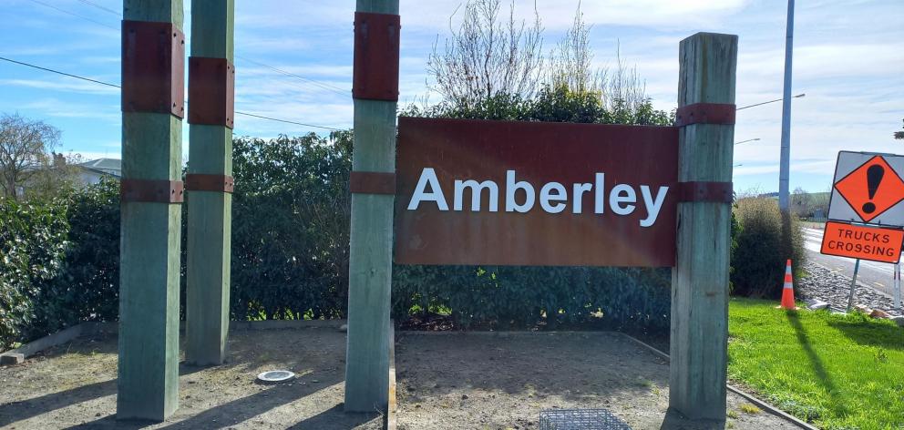
The town’s present population is 5590.
The council’s recent data projected the town's population could surge to 13,170 over the next 30 years in a high-growth scenario.
Stats NZ's growth projections were more conservative but were based on the 2018 Census. It suggested a medium growth scenario could see Amberley’s population reach 6260 by 2053, while a high growth projection was 7320 by 2053.
Council chief executive Hamish Dobbie said there are a number of factors which could influence growth, including Government policy.
"This Government has indicated it plans to free up land for housing and the Woodend Bypass will make this area more convenient for travel.
"So there may be more pressure to free up land.
"There are restrictions regarding the ability to make land available for housing and Government legislation could make it more available or less available."
For now, growth is constrained as Amberley is surrounded by land that is protected under national policy on highly productive land.
A series of actions have been included to implement the spatial plan, including advocating with Waka Kotahi NZ Transport Agency for safety improvements and putting Hurunui’s case to Environment Canterbury for public transport provision.
Supporting housing growth will require changes to planning rules, including reducing section sizes and opening up more land for housing.
Land will also need to be rezoned for industrial use and the council plans to develop a masterplan for the central Amberley business area, including the Markham St shops, and a community hub.
"It is a journey we have all been on and as a document it needs to be kept alive and vibrant."
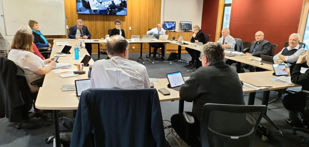
South ward councillor Pauline White said she was proud of what the council had achieved alongside the community.
"What an effort and a community effort at that, and it truly belongs to everyone."
The council received 41 submissions during its recent consultation, with several suggesting solutions to address safety concerns on Carters Rd (State Highway 1) as Amberley continues to grow.
The spatial plan will be reviewed every three years, alongside the Long Term Plan.
By David Hill, Local Democracy Reporter
■ LDR is local body journalism co-funded by RNZ and NZ On Air.


