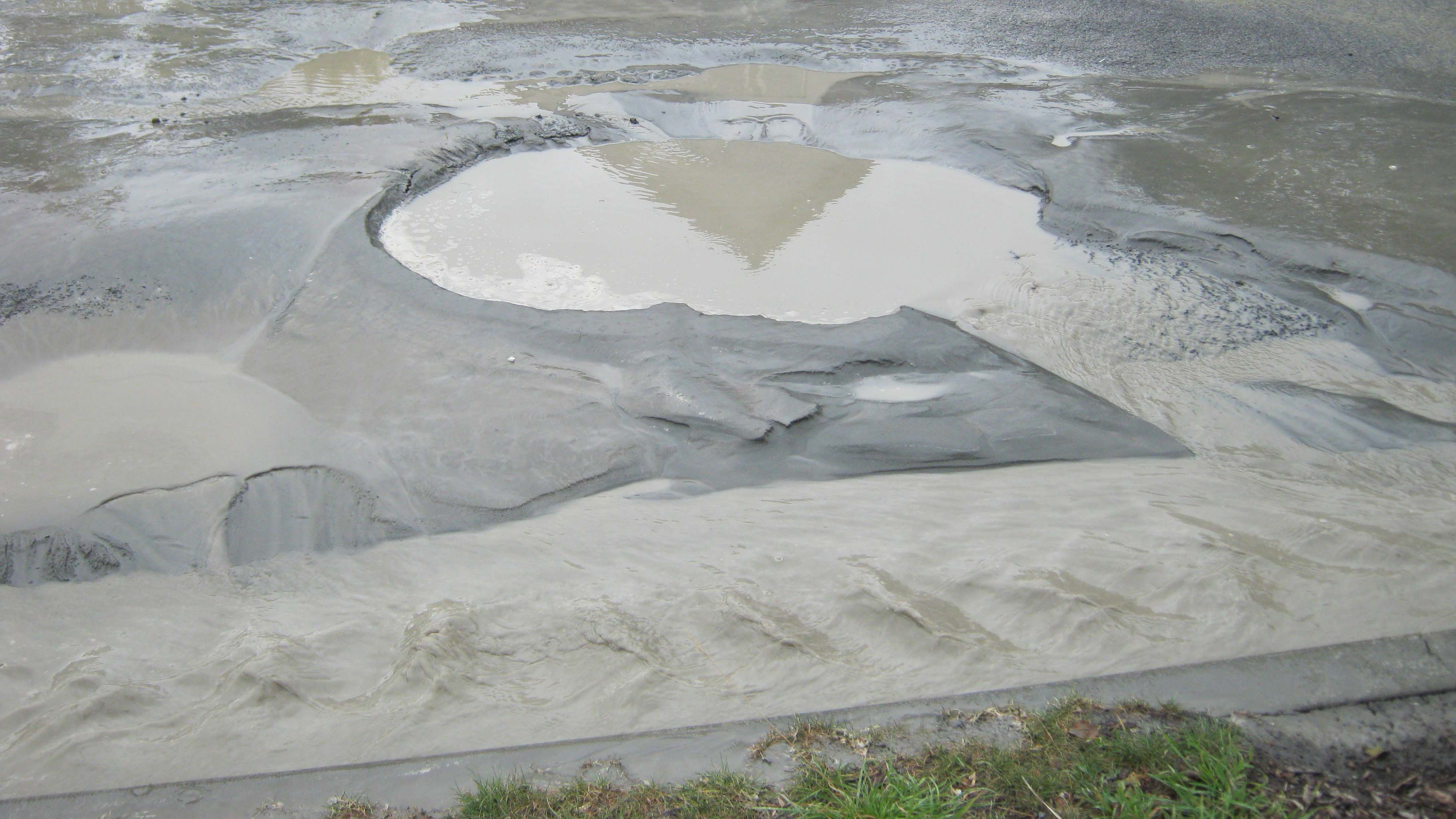
A new interactive online tool has been developed to show people how the ground in Christchurch could respond in another earthquake.
The online tool, named the Liquefaction Lab, uses extensive information about ground conditions gathered since the 2010 and 2011 earthquakes to visualise the city's vulnerability to liquefaction under different conditions.
The Liquefaction Lab shows different patterns of land damage that are likely to occur across the city by taking into account the magnitude and location of the earthquake and groundwater levels.
"We have taken all the observations about how the land has performed in previous earthquakes and brought these together with the extensive data and research gathered since then to map the liquefaction vulnerability of all the flat land in Christchurch,” Christchurch City Council head of strategic policy Emma Davis said.

"This information will be used to guide design of our infrastructure and where we place it.
"Understanding which areas are likely to be affected by liquefaction in an earthquake, and the scale of damage is also valuable for Civil Defence planning and response, and managing engineering lifelines such as roading, telecoms and power.
"The online tool will also be particularly useful for people to understand the possible liquefaction vulnerabilities of properties in different areas of the city."
The mapping includes new vulnerability categories that will eventually replace the TC1, 2 and 3 categories introduced in Christchurch after the earthquakes. The Ministry of Business, Innovation and Employment will introduces the new categories nationwide by next year.
The Liquefaction Lab online tool can be found here.


