
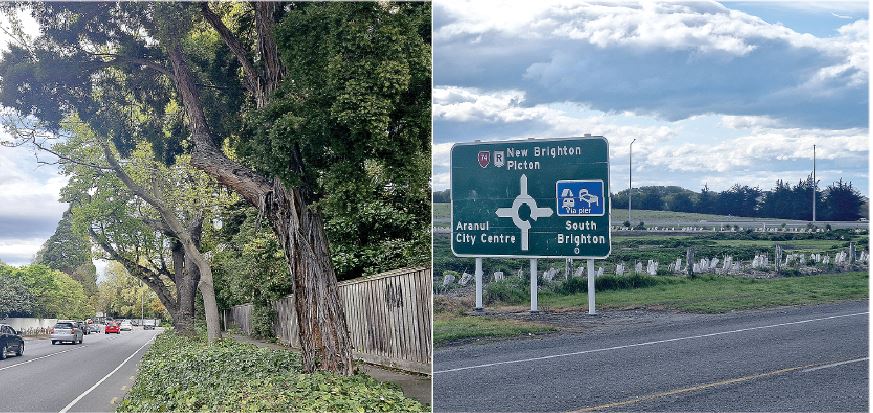
More affluent parts of the city, such as Cashmere, Fendalton, Innes and Waimairi, have higher tree canopy coverage compared to lower-income wards like Linwood and Hornby.
Coastal, a generally lower-income ward, has the highest tree canopy coverage with 872 out of 3182ha, but a significant amount of these trees are within Bottle Lake Forest Park.
Little local research has been done to explain the disparity between higher and lower-income suburbs, but overseas studies suggest wealthier people are more likely to plant trees on their property due to having more space and resources.
Christchurch City Council is moving forward with its Urban Forest Plan, approved in June 2023, to remedy the disparities between suburbs.
The plan aims to plant the city’s public land with enough trees to increase canopy coverage from the current 13.5 per cent to more than 20 per cent by 2070.
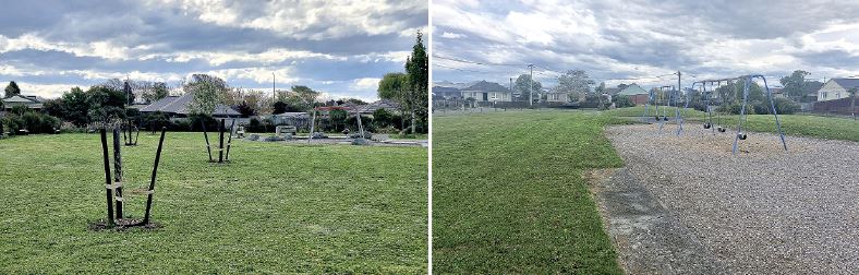
Planting efforts have so far been evenly spread across the city to help address the disparities between suburbs.
Canterbury University associate professor of forestry Justin Morgenroth said the city council has made a “great start” at planting and increasing the production of tree seeds.
“I think one of the things they’ve done really well is getting a handle on what and where the problem is.
"Prior to 2015, they didn’t know where tree cover was in the city.”
There are factors other than wealth that led to disparities in tree coverage across the city.
This means trees have had more time to grow in size and number.
Christchurch’s canopy coverage of 13.5 per cent is lower than Auckland on18.4 per cent and Wellington with 30.6 per cent.
Morgenroth said Christchurch’s mostly flat geography has led to increased deforestation and less natural regeneration of trees compared to the more hilly areas of Auckland and Wellington where native forests remain.
“For example, if you leave a plot of unmanaged land in Wellington, soon it will revert to forest,” he said.
“Whereas in Christchurch if you do that, regeneration is likely to happen at a much slower rate, just because there’s no sort of surrounding forest that provides a seed source.”


