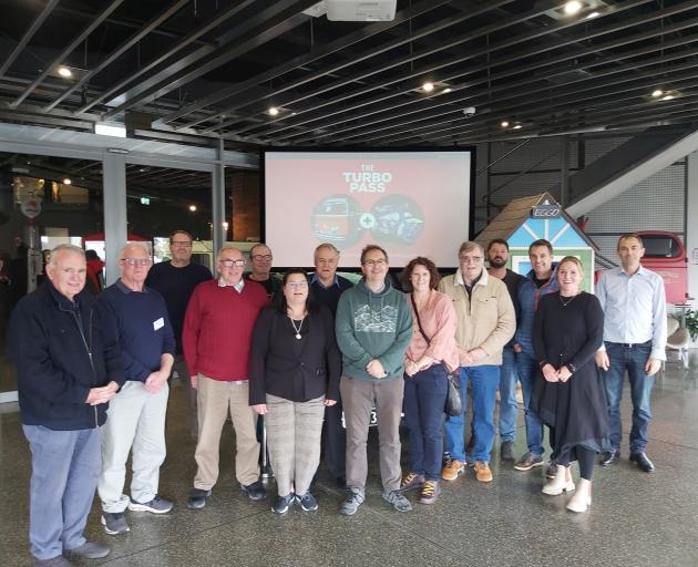
The Topoclimate South Project took place in Southland from 1998-2001 and involved 26 people who worked on the programme.
The reunion last weekend — 25 years since the project started coming together — attracted 22 of the 26 from far and wide, showing how much the project meant to those who worked on it.
The project was the first of its kind in New Zealand and involved detailed mapping of soil and also recordings of temperatures throughout the province.
Project lead Gary Hutchinson said in the late 1990s, Southland farmers faced some big challenges. The farmers had a lack of information and limited options for the diversification of the economy. Farmers were hungry for information but it was difficult to turn raw data into credible information.
Southland might have had only 2.6% of the New Zealand population but created 18% of the country’s wealth and farmers wanted to be more productive, he said.
Farming groups and council leaders wanted more detailed information and started the project but got little central government support.
But Mr Hutchinson said southern councils — Gore, Southland, Invercargill, Clutha and the Southland Regional Council — came together with farming groups and with other sources raised the $4.8million needed for the project.
The project would help give farmers detailed information about their soils on their land and the various microclimates throughout the district. There were 4500 farmers in the district.
The incoming Labour government in 1999 was the complete opposite of their predecessors and supported the project with cash, taking a 40% stake in the project.
Detailed mapping of soils took place which outlined such information as: depth, stoniness, drainage, texture, pH readings, soil wetness and chemical information. All up they had information on soil of 820,000ha across Southland and produced multiple maps.
Temperature information had been very hit and miss and so the project used new temperature stations which recorded every six minutes for four months. They were spread all over Southland, as there were many microclimates in the province.
The results of the mapping and all the information was a boon for Southland.
"The impact of all this information was massive. It opened doors for new crops — tulips, turnips, blueberries — and it led to lots of new businesses starting," Mr Hutchinson said.
Flower-growing businesses were set up which sent flowers to Europe in their off-season.
The project contributed to 3000 new jobs in Southland and helped farmers make better decisions for their farming operations.
Mr Hutchinson said the project led to some valuable lessons. Collaboration was important and if farmers gathered information then they were more likely to use it.
He said the study was recognised internationally for its achievement and was one of the highlights of his career.