Niwa forecaster Seth Carrier said temperatures were above average or well above average in Otago and Southland, and near average on the West Coast and Fiordland during April.
Nationwide, the average temperature was 13.8°C, which was 0.4°C above the 1991-2020 April average from Niwa’s seven-station temperature series.
No temperature records were broken in the South, but Middlemarch recorded its third-highest mean air temperature with 11.5°C, and Five Rivers recorded its fourth-highest with 11.0°C.
Mr Carrier said rainfall was below normal or well-below normal in North Otago, and normal for the rest of Otago and Eastern Southland.
However, it was above normal or well-above normal on the lower West Coast, Fiordland and western Southland, mainly due to an atmospheric river which brought heavy rain to the country from April 9-12.
"Haast and Lake Moeraki experienced their wettest April on record. Notably, Haast had 532mm for the month — 251% of its normal monthly rainfall, making it the wettest April since records began in 1941.
"In addition, Haast recorded 147mm of rain on April 9 alone, making it the town’s wettest April day on record.
"Lake Moeraki recorded 636mm — 220% of its normal monthly rainfall."
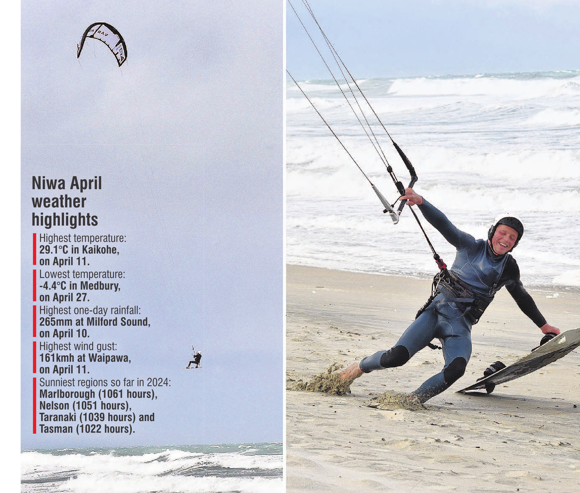
He said the highest one-day rainfall was 265mm, recorded at Milford Sound on April 10.
At the end of April, soil moisture levels were near normal or above normal on the West Coast, interior Otago and Southland.
Extreme wind gusts also broke records in Middlemarch on April 25 when wind speeds gusted to 108kmh.
Mr Carrier said April 2024 was characterised by lower-than-normal mean sea level pressure located south of New Zealand, and higher-than-normal pressure to the north of the country.
"This produced more northwesterly airflows than normal and contributed to the observed rainfall pattern during April, where the west of both islands generally saw much more rainfall than eastern areas.
"This was characteristic of a continued but weakening El Nino during April.
"The conditions during the month were fairly mundane with the exception of the atmospheric river that brought high-impact weather to the country from April 9-12."
This resulted in slips and closed roads in the West Coast and Southland, while more than 70 flights around the country were either cancelled or delayed during the event.


