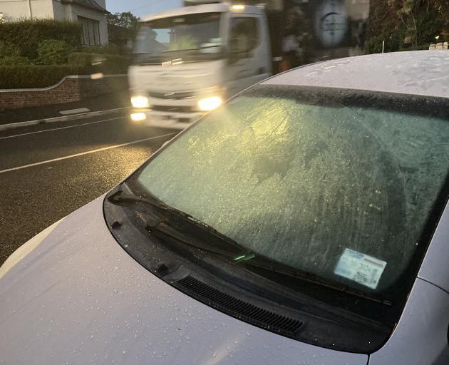
Many main centres had a chilly start with temperatures dipping into the negatives in Invercargill and Queenstown.
But the coldest spot in the country belonged to Lake Tekapo, which recorded the coldest temperature of the year so far with just -7.5degC.
Other spots where the mercury wouldn't wake up were Middlemarch with -6.5degC and Ranfurly with -5.6degC.
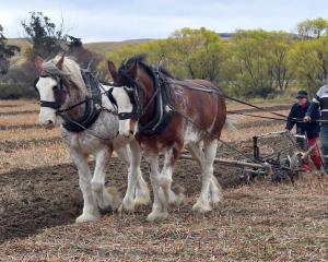
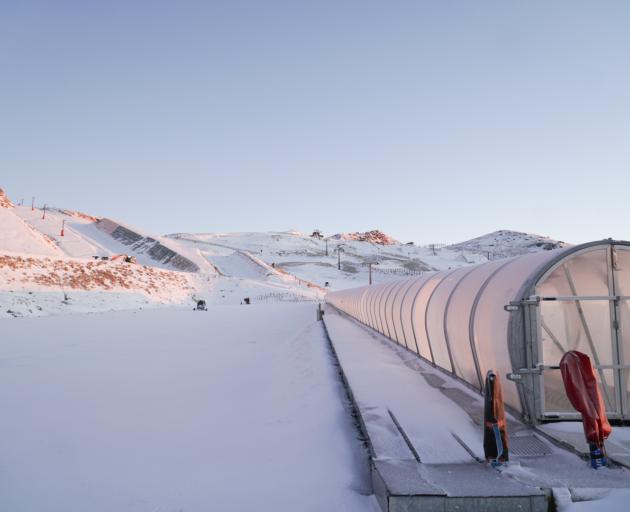
Skifield operators welcomed the cold blast though.
MetService has forecast an extended run of low temperatures this week, signalling the approach of winter.
None of the main centres made double digit temperatures with Auckland at 6C, Tauranga 9C, Hamilton 2C, Wellington 8C, Christchurch 3C and Dunedin 2C.
MetService meteorologist John Law said the southerly change hit Wellington overnight with wet, cloudy weather forecast for the lower half of the North Island on Thursday.
Overnight temperatures will be cold heading into Friday with a cold and frosty start to the day for many places, he said."So after daytime temperatures reaching only about 10C in Christchurch, the following night down to about -3 or -4C, a severe frost possible for many parts of Canterbury."
Niwa forecast that it was set to be a mainly fine day on Thursday, except for the east coast of the North Island and the north-east of the South Island.
Niwa said the incoming southerly would reinforce the chilly temperatures.
There were overnight snowfall warnings in place for Lewis Pass, Porters Pass and Arthur's Pass but this morning MetService said these had now been lifted as snow showers had cleared.
MetService has issued a heavy swell warning for Turakirae Head to Mataikona in Wairarapa from 10pm Friday until 8pm with waves rising to 5 metres late Friday night.
- Additional reporting ODT Online