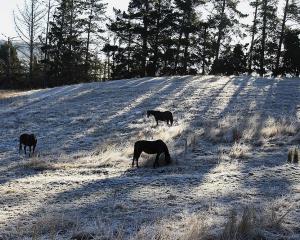
It might look like snow, but weather experts are adamant the white stuff that lashed the capital this morning was hail.
Weather Watch spokesman Philip Duncan said he knew it was hail because that comes from a much higher - and much colder - level in the atmosphere than snow.
"You can get hail in summer because hail is formed much higher up in the atmosphere where temperatures are up to minus 30 degrees.''
For a repeat of the snow that fell in Wellington last August, temperatures would have to be below four degrees at sea level, said Mr Duncan.
At least three minor crashes were caused by this morning's hail. Two were on the motorway between Thorndon and Aotea Quay and one on Wallace St in Mt Cook.
Affected vehicles were not blocking traffic and there were no reports of injuries said an Ambulance spokeswoman
Mr Duncan said the hailstorm was unexpected and part of a swift southerly change that had been "dropping temperatures everywhere''.
"Wellington just got clipped by that southerly that's been coming up from the South Island,'' said Mr Duncan.
He said the front was moving up the Hutt Valley and into the Wairarapa. The skies in the capital are now blue.
Hailstorms are caused by the presence of "big fluffy cumulus clouds'', a mixture of hot and cold air and the right amount of moisture in the air.
"You have all the right ingredients that then send these raindrops up a lot further into the atmosphere where it's colder and then it freezes and then you start to get hail,'' said Mr Duncan.
Once you get hail you can also get thunder, he said.
"When the hail starts knocking around up there in the clouds it can produce static charges and thunderstorms so it's a possibility we might see an isolated thunderstorm in the lower North Island as well.''
Wellington Police spokesman Sergeant Andy Dow has asked drivers to drive to the conditions and to put dipped headlights on.


